File:Somalia CIA map PL.jpg
Jump to navigation
Jump to search
No higher resolution available.
Somalia_CIA_map_PL.jpg (351 × 377 pixels, file size: 73 KB, MIME type: image/jpeg)
Captions
Captions
Add a one-line explanation of what this file represents
| Description |
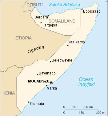
Polski: Mapka Somalii |
|||
| Source | CIA World Factbook - after modifications transferred from Polish Wikipedia. | |||
| Author | Central Intelligence Agency | |||
| Permission (Reusing this file) |
|

File history
Click on a date/time to view the file as it appeared at that time.
| Date/Time | Thumbnail | Dimensions | User | Comment | |
|---|---|---|---|---|---|
| current | 18:28, 20 June 2020 | | 351 × 377 (73 KB) | Kzl55 (talk | contribs) | Reverted to version as of 17:15, 20 January 2016 (UTC) File shows CIA map of claimed Somaliland borders. Restored long standing stable version. |
| 16:30, 20 June 2020 |  | 351 × 377 (32 KB) | Meelpringthusss (talk | contribs) | see ongoing discussion at File_talk:Somalia_map_states_regions_districts.png#There_is_nuance_with_regards_to_control | |
| 09:16, 20 June 2020 |  | 351 × 377 (49 KB) | Bboyfbg (talk | contribs) | Reverted to version as of 18:16, 5 March 2010 (UTC) | |
| 09:49, 18 June 2020 |  | 351 × 377 (32 KB) | Meelpringthusss (talk | contribs) | added disputed area | |
| 17:15, 20 January 2016 |  | 351 × 377 (73 KB) | Szczureq (talk | contribs) | polskie egzonimy lub nazwy somalijskie zamiast angielskich; Somaliland nie jest uznawany międzynarodowo za odrębne państwo, więc tym samym kolorem; dodane duże miasta na jego terenie | |
| 18:16, 5 March 2010 |  | 351 × 377 (49 KB) | Masur (talk | contribs) | {{Information |Description={{pl|Mapka Somalii}} |Source=CIA World Factbook - after modifications transferred from Polish Wikipedia. |Date= |Author=Central Intelligence Agency |Permission={{PD-USGov-CIA-WF}} |other_versions= }} Category:Maps of Somalia |
You cannot overwrite this file.
File usage on Commons
The following 3 pages use this file:
File usage on other wikis
The following other wikis use this file:
- Usage on pl.wikipedia.org