File:SilniceI2 map.svg
Jump to navigation
Jump to search

Size of this PNG preview of this SVG file: 800 × 459 pixels. Other resolutions: 320 × 184 pixels | 640 × 368 pixels | 1,024 × 588 pixels | 1,280 × 735 pixels | 2,560 × 1,470 pixels | 1,318 × 757 pixels.
Original file (SVG file, nominally 1,318 × 757 pixels, file size: 288 KB)
Captions
Captions
Add a one-line explanation of what this file represents
Summary[edit]
| Description |
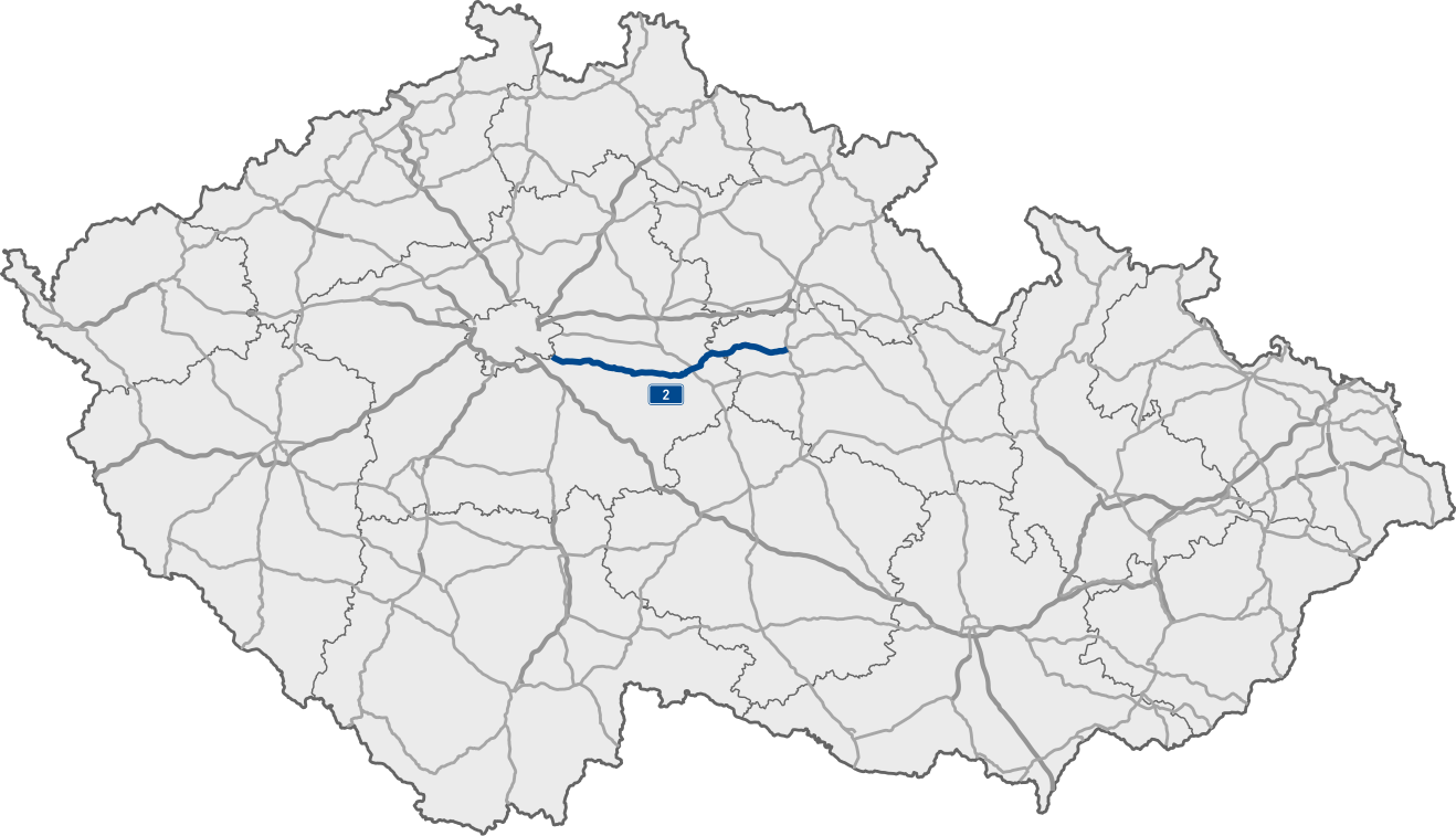
Deutsch: Karte der I/2 in Tschechien
English: Map of I/2 in the Czech Republic |
| Source | Openstreetmap data |
| Author |
|
Licensing[edit]
| This work is licensed under the Open Database License (summary). |
File history
Click on a date/time to view the file as it appeared at that time.
| Date/Time | Thumbnail | Dimensions | User | Comment | |
|---|---|---|---|---|---|
| current | 09:41, 4 May 2021 | | 1,318 × 757 (288 KB) | Feliweigi (talk | contribs) | Added czech road network |
| 11:57, 30 April 2021 |  | 1,004 × 611 (94 KB) | Feliweigi (talk | contribs) | {{Information |Description= {{de|1=Karte der I/2 in Tschechien}} {{en|1=Map of I/2 in the Czech Republic}} |Source={{own}} * based on https://commons.wikimedia.org/wiki/File:Czech_Republic_adm_location_map.svg Czech Republic adm location map by NordNordwest |Date= |Author= Feliweigi |Permission= |other_versions= }} |
You cannot overwrite this file.
File usage on Commons
The following 4 pages use this file:
File usage on other wikis
The following other wikis use this file:
- Usage on cs.wikipedia.org
- Usage on de.wikipedia.org