File:Sh44 in Tusheti NP near Khiso.jpg
Jump to navigation
Jump to search

Size of this preview: 800 × 536 pixels. Other resolutions: 320 × 214 pixels | 640 × 428 pixels | 1,024 × 685 pixels | 1,280 × 857 pixels | 2,560 × 1,714 pixels | 3,872 × 2,592 pixels.
Original file (3,872 × 2,592 pixels, file size: 3.65 MB, MIME type: image/jpeg)
Captions
Captions
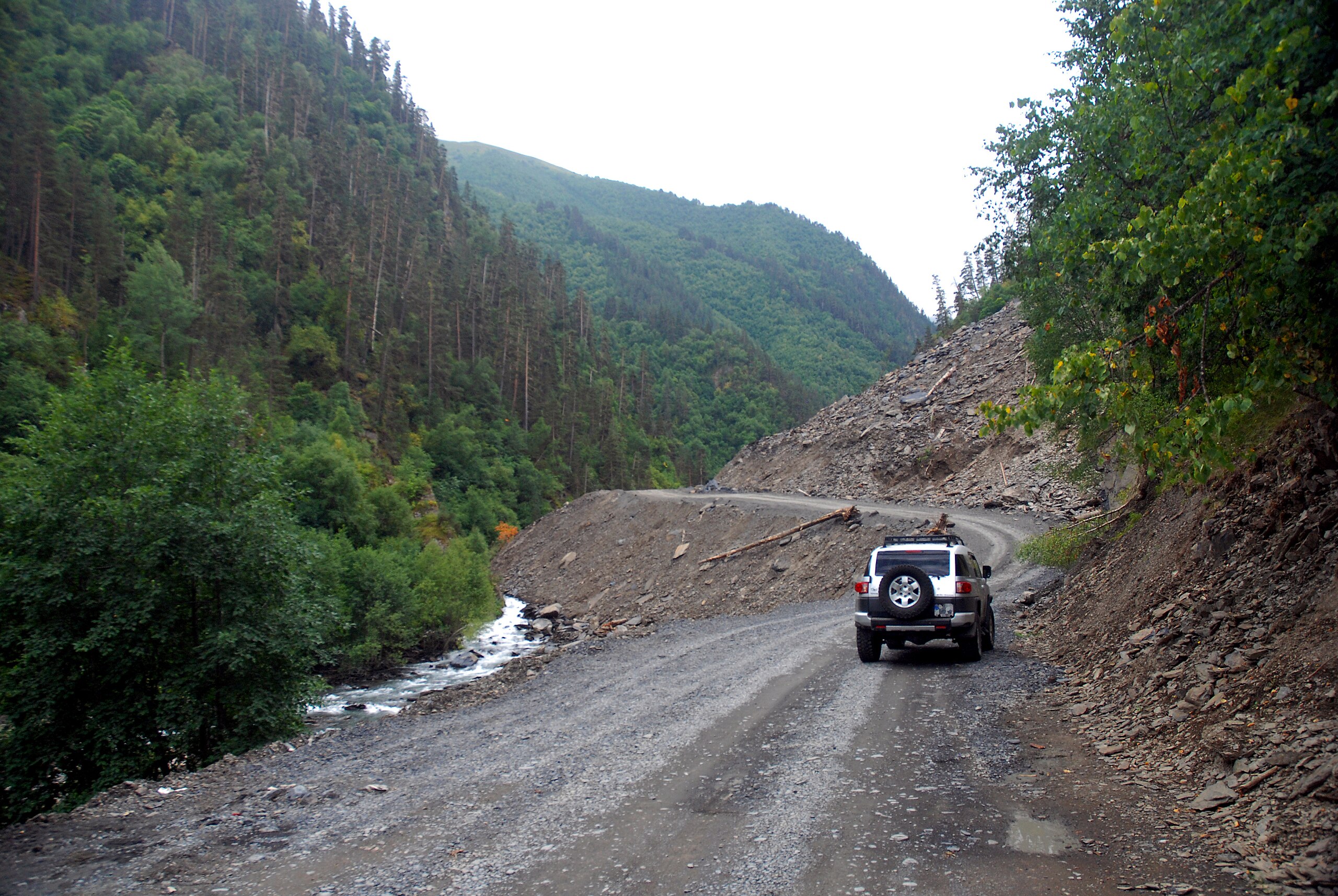
The "road to Tusheti" is the most eponymous mountain road in Georgia
Summary[edit]
| Description |
English: Most of the Sh44 Pshaveli - Omalo is unsealed, and suffers from annual landslides. Its highest point is Abano Pass at 2826 meters above sea level, until 2018 the highest driveable pass in the country |
| Date | |
| Source | https://www.flickr.com/photos/saab99/36540154572/ |
| Author | Jelger Groeneveld |
| Camera location | | View this and other nearby images on: OpenStreetMap |
|---|
Licensing[edit]
This file is licensed under the Creative Commons Attribution 2.0 Generic license.
- You are free:
- to share – to copy, distribute and transmit the work
- to remix – to adapt the work
- Under the following conditions:
- attribution – You must give appropriate credit, provide a link to the license, and indicate if changes were made. You may do so in any reasonable manner, but not in any way that suggests the licensor endorses you or your use.
| This image was originally posted to Flickr by Jelger Groeneveld at https://flickr.com/photos/34523388@N06/36540154572. It was reviewed on 8 July 2021 by FlickreviewR 2 and was confirmed to be licensed under the terms of the cc-by-2.0. |
File history
Click on a date/time to view the file as it appeared at that time.
| Date/Time | Thumbnail | Dimensions | User | Comment | |
|---|---|---|---|---|---|
| current | 15:53, 8 July 2021 | | 3,872 × 2,592 (3.65 MB) | Labrang (talk | contribs) | Uploaded a work by Jelger Groeneveld from https://www.flickr.com/photos/saab99/36540154572/ with UploadWizard |
You cannot overwrite this file.
File usage on Commons
There are no pages that use this file.