File:Scale kilometres miles.svg
(Redirected from File:Scale kilometres miles svg.svg)

Size of this PNG preview of this SVG file: 400 × 75 pixels. Other resolutions: 320 × 60 pixels | 640 × 120 pixels | 1,024 × 192 pixels | 1,280 × 240 pixels | 2,560 × 480 pixels.
Original file (SVG file, nominally 400 × 75 pixels, file size: 8 KB)
Captions
Captions
Add a one-line explanation of what this file represents
Summary[edit]
| Description |
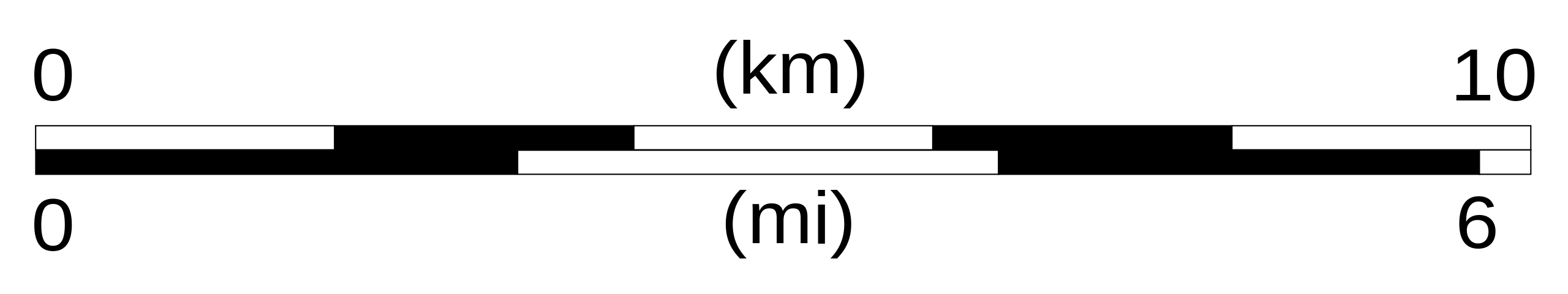
English: Scale bar for maps, with both kilometres and miles units. Easy to modify (see the table below). Français : Echelle pour cartes, avec notation en kilomètres et en miles. Facilement modifiable (cf. table ci-dessous). |
| Date | |
| Source | Own work |
| Author | Sémhur (talk) |
| Other versions |
|
| SVG | W3C-validity not checked. |
| Atelier graphique |
| Km | Mi |
|---|---|
| 5 | 3 |
| 20 | 12 |
| 100 | 60 |
| ... | ... |
Licensing[edit]
| This file is made available under the Creative Commons CC0 1.0 Universal Public Domain Dedication. | |
| The person who associated a work with this deed has dedicated the work to the public domain by waiving all of their rights to the work worldwide under copyright law, including all related and neighboring rights, to the extent allowed by law. You can copy, modify, distribute and perform the work, even for commercial purposes, all without asking permission.
|
File history
Click on a date/time to view the file as it appeared at that time.
| Date/Time | Thumbnail | Dimensions | User | Comment | |
|---|---|---|---|---|---|
| current | 12:04, 19 August 2007 | 400 × 75 (8 KB) | Sémhur (talk | contribs) | Change "Ml" (ML) to "Mi" (MI) | |
| 11:49, 19 August 2007 | 400 × 75 (8 KB) | Sémhur (talk | contribs) | {{Information |Description= {{en|Scale bar for maps, with both kilometres and miles units. Easy to modify (see the table below).}} {{fr|Echelle pour cartes, avec notation en kilomètres et en miles. Facilement modifiable (cf. table ci-dessous).}} |Source= |
You cannot overwrite this file.
File usage on Commons
The following 3 pages use this file:
File usage on other wikis
The following other wikis use this file:
- Usage on ar.wikipedia.org
- Usage on bn.wikipedia.org
- Usage on en.wikipedia.org
- Length
- User talk:Mathwhiz 29
- User talk:Sarason
- User talk:Smileguy91
- User talk:Ethraen
- User talk:Soulparadox
- User talk:Muffin Wizard/Archive 6
- User talk:Panpog1
- User talk:My76Strat
- Wikipedia talk:Graphics Lab/Archive 3
- User talk:The boss 1998
- User talk:Khamar
- User talk:Joshualouie711
- User:MrWooHoo/Archive 11
- User talk:OfficialNeon
- User talk:Sahara4u/Archive 5
- User talk:Erigalle
- User talk:Susmuffin/Archive 1
- User talk:MoarSmtp
- User talk:VictorTorres2002/Archive 2
- User talk:Becky Sayles/Archive 14
- User talk:HectorAE/Archive 6
- User talk:Bananasoldier/Archive 8
- User talk:Mitchellhobbs/Archives/1
- User talk:MusikAnimal/Archive 41
- Wikipedia talk:Articles for improvement/Archive 23
- User talk:CSJJ104/Archive 4
- User talk:CyberXRef/Archive 9
- User talk:KGirlTrucker81/Signpost/Archive 16
- User talk:Kpgjhpjm/Archive 8
- User talk:Vanilla Wizard/Archive 1
- User talk:Mahensingha/Archive 52
- User talk:Zanygenius/Archives/2010's/2019/1
- User talk:ChrisGualtieri/Archive 33
- User talk:K6ka/Archive 25
- User talk:ChamithN/Archive 31
- User talk:Hhkohh/Archive 5
- User talk:Sam Sailor/Archive 24
- User talk:Winner 42/Archive 24
- User talk:Theopolisme/Archive 30
- User talk:Silver seren/Archive 24
- User talk:GiantSnowman/2020
- User talk:SpeedReader/Archive 15
- User talk:7&6=thirteen/Archive 14
- User talk:Class455/Archive 20
- User talk:DannyS712/Archive 11
- User talk:Caker18/Archive 2020/February
- User talk:Esquivalience/Archive 15
View more global usage of this file.