File:Satellite photo of the area around Port-Gentil.png
Jump to navigation
Jump to search

Size of this preview: 800 × 507 pixels. Other resolutions: 320 × 203 pixels | 640 × 405 pixels | 1,034 × 655 pixels.
Original file (1,034 × 655 pixels, file size: 388 KB, MIME type: image/png)
Captions
Captions
Add a one-line explanation of what this file represents
Summary[edit]
| Description |
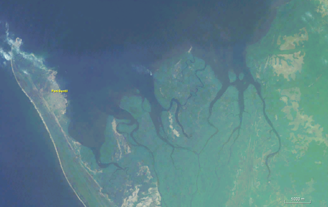
English: Satellite photo of the area around Port-Gentil |
| Date | |
| Source | Worldwind |
| Author | Nasa |
Licensing[edit]
| This image is in the public domain because it is a screenshot from NASA’s globe software World Wind using a public domain layer, such as Blue Marble, MODIS, Landsat, SRTM, USGS or GLOBE.
|
 |
File history
Click on a date/time to view the file as it appeared at that time.
| Date/Time | Thumbnail | Dimensions | User | Comment | |
|---|---|---|---|---|---|
| current | 14:59, 19 December 2018 | | 1,034 × 655 (388 KB) | Peter in s (talk | contribs) | {{Information |description ={{en|1=Satellite photo of the area around Port-Gentil}} |date =2018-12-19 |source =Worldwind |author =Nasa }} Category:Port-Gentil Category:Satellite pictures of Gabon |
You cannot overwrite this file.
File usage on Commons
The following 2 pages use this file:
File usage on other wikis
The following other wikis use this file:
- Usage on avk.wikipedia.org
- Usage on es.wikipedia.org
- Usage on fr.wikipedia.org
- Usage on ru.wikipedia.org