File:San Joaquin River USGS.jpg
Jump to navigation
Jump to search
No higher resolution available.
San_Joaquin_River_USGS.jpg (567 × 388 pixels, file size: 418 KB, MIME type: image/jpeg)
Captions
Captions
Add a one-line explanation of what this file represents
Summary[edit]
| Description | |
| Source | http://ca.water.usgs.gov/sanj/sw_11303500.html |
| Author | Jason May, USGS photographer |
Licensing[edit]
This image is in the public domain in the United States because it only contains materials that originally came from the United States Geological Survey, an agency of the United States Department of the Interior. For more information, see the official USGS copyright policy.
|
File history
Click on a date/time to view the file as it appeared at that time.
| Date/Time | Thumbnail | Dimensions | User | Comment | |
|---|---|---|---|---|---|
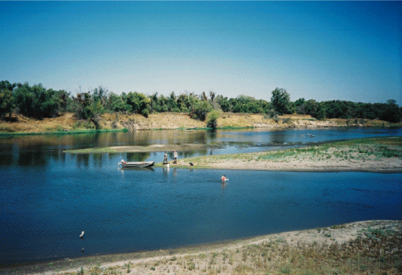
| current | 01:11, 10 June 2011 | | 567 × 388 (418 KB) | Shannon1 (talk | contribs) | {{Information |Description ={{en|1=The San Joaquin River in the San Joaquin Valley, CA}} |Source =http://ca.water.usgs.gov/sanj/sw_11303500.html |Author =Jason May, USGS photographer |Date = |Permission = |other_versions = |
You cannot overwrite this file.
File usage on Commons
There are no pages that use this file.
File usage on other wikis
The following other wikis use this file:
- Usage on ca.wikipedia.org
- Usage on da.wikipedia.org
- Usage on en.wikipedia.org
- Usage on fr.wikipedia.org
- Usage on pl.wikipedia.org
- Usage on pnb.wikipedia.org
- Usage on ru.wikipedia.org
- Usage on sh.wikipedia.org
- Usage on sr.wikipedia.org