File:Samso-Vesborg Light.png
Jump to navigation
Jump to search
No higher resolution available.
Samso-Vesborg_Light.png (480 × 263 pixels, file size: 215 KB, MIME type: image/png)
Captions
Captions
Add a one-line explanation of what this file represents
Summary[edit]
| Description |
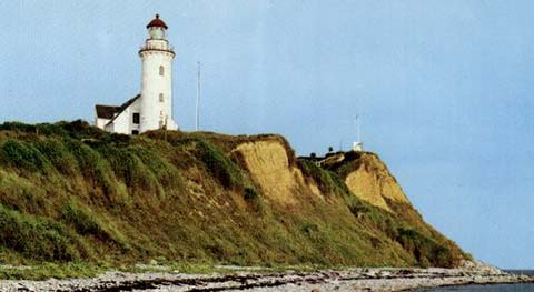
English: Vesborg Light, on the southwest side of Samsø, Denmark |
| Date | |
| Source | Sailing Directions (Enroute), Pub 135 |
| Author | National Geospatial-Intelligence Agency |
| Camera location | | View this and other nearby images on: OpenStreetMap |
|---|
Licensing[edit]
This image is a work of the United States National Geospatial-Intelligence Agency or one of its predecessor agencies. As a work of the U.S. federal government, the image is in the public domain.
|
 |
File history
Click on a date/time to view the file as it appeared at that time.
| Date/Time | Thumbnail | Dimensions | User | Comment | |
|---|---|---|---|---|---|
| current | 14:02, 16 August 2009 | | 480 × 263 (215 KB) | Ratzer (talk | contribs) | {{Information |Description={{en|1=Vesborg Light, on the southwest side of Samsø, Denmark }} |Source=Sailing Directions (Enroute), Pub 135 |Author=National Geospatial-Intelligence Agency |Date=2000 |Permission= |other_versions= }} [[Category:Islands of |
You cannot overwrite this file.
File usage on Commons
There are no pages that use this file.
File usage on other wikis
The following other wikis use this file: