File:Salinenkanal Brücke 4 (Steg).jpg
Jump to navigation
Jump to search

Size of this preview: 800 × 600 pixels. Other resolutions: 320 × 240 pixels | 640 × 480 pixels | 1,024 × 768 pixels | 1,280 × 960 pixels | 2,560 × 1,920 pixels | 4,608 × 3,456 pixels.
Original file (4,608 × 3,456 pixels, file size: 847 KB, MIME type: image/jpeg)
Captions
Captions
Add a one-line explanation of what this file represents
Summary[edit]
.jpg&action=edit§ion=1)
| Description |
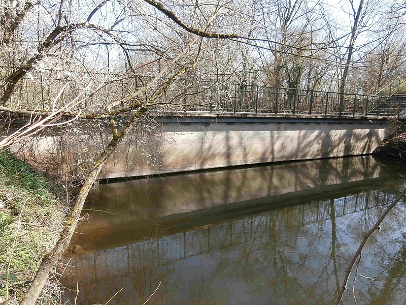
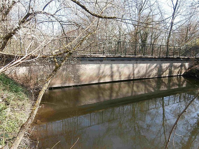
Deutsch: Der Steg als vierte Brücke über den Salinenkanal; er führt hinab , so dass er meist nur wenig über dem Wasserspiegel des Kanals liegt: oft ist der unterste Teil überflutet und staut das Treibgut. |
| Date | |
| Source | Own work |
| Author | Sarang |
| Object location | | View this and other nearby images on: OpenStreetMap |
|---|
.jpg¶ms=049.227167_N_0009.212917_E_globe:Earth_class:object_type:object_dim:320_&language=en)
Licensing[edit]
.jpg&action=edit§ion=2)
| I, the copyright holder of this work, release this work into the public domain. This applies worldwide. In some countries this may not be legally possible; if so: I grant anyone the right to use this work for any purpose, without any conditions, unless such conditions are required by law. |
File history
Click on a date/time to view the file as it appeared at that time.
| Date/Time | Thumbnail | Dimensions | User | Comment | |
|---|---|---|---|---|---|
| current | 16:38, 28 March 2021 | | 4,608 × 3,456 (847 KB) | Sarang (talk | contribs) | {{Information |Description={{de|Der Steg als vierte Brücke über den Salinenkanal; er führt ''hinab'' <!-- zum Wasser -->, so dass er meist nur wenig über dem Wasserspiegel des Kanals liegt: <br>oft ist der unterste Teil überflutet und staut das Treibgut.}} |Date=2021-03-28 |Source={{own}} |Author={{U|Sarang}} }} {{Object location|49°13′37.8″N 09°12′46.5″E|dim:320}} == {{int:license-header}} == {{PD-self}} B041 [[Category:Bridges in Bad Friedrichshall]... |
You cannot overwrite this file.
File usage on Commons
The following 2 pages use this file:
.jpg&oldid=801591053)