File:Rothenburg BW 27.JPG
Jump to navigation
Jump to search

Size of this preview: 422 × 600 pixels. Other resolutions: 169 × 240 pixels | 338 × 480 pixels | 540 × 768 pixels | 720 × 1,024 pixels | 2,222 × 3,158 pixels.
Original file (2,222 × 3,158 pixels, file size: 3.2 MB, MIME type: image/jpeg)
Captions
Captions
Add a one-line explanation of what this file represents
Summary[edit]
| Camera location | | View this and other nearby images on: OpenStreetMap |
|---|
| Description |
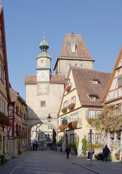
Deutsch: Rothenburg ob der Tauber, Röderbogen und Markusturm |
| Date | |
| Source | Own work |
| Author | Berthold Werner |
Licensing[edit]
| I, the copyright holder of this work, release this work into the public domain. This applies worldwide. In some countries this may not be legally possible; if so: I grant anyone the right to use this work for any purpose, without any conditions, unless such conditions are required by law. |
| Annotations | This image is annotated: View the annotations at Commons |
File history
Click on a date/time to view the file as it appeared at that time.
| Date/Time | Thumbnail | Dimensions | User | Comment | |
|---|---|---|---|---|---|
| current | 13:29, 24 September 2009 | | 2,222 × 3,158 (3.2 MB) | Berthold Werner (talk | contribs) | Aufgehellt |
| 11:04, 18 August 2009 |  | 2,280 × 3,419 (3.44 MB) | Berthold Werner (talk | contribs) | Schatten aufgehellt | |
| 17:42, 19 September 2008 |  | 2,280 × 3,419 (3 MB) | Berthold Werner (talk | contribs) | {{Information |Description={{de|1=Rothenburg ob der Tauber, Röderbogen und Markusturm}} |Source=Eigenes Werk (own work) |Author=Berthold Werner |Date=2008-09-19 |Permission= |other_versions= }} <!--{{ImageUpload|full}}--> [[Cate |
You cannot overwrite this file.
File usage on Commons
The following 4 pages use this file:
File usage on other wikis
The following other wikis use this file:
- Usage on ba.wikipedia.org
- Usage on bg.wikipedia.org
- Usage on pl.wikipedia.org
- Usage on ro.wikipedia.org
- Usage on sv.wikipedia.org