File:Rosebank OSM map small.svg
Jump to navigation
Jump to search

Size of this PNG preview of this SVG file: 364 × 259 pixels. Other resolutions: 320 × 228 pixels | 640 × 455 pixels | 1,024 × 729 pixels | 1,280 × 911 pixels | 2,560 × 1,822 pixels.
Original file (SVG file, nominally 364 × 259 pixels, file size: 768 KB)
Captions
Captions
Add a one-line explanation of what this file represents
Summary[edit]
| Description |
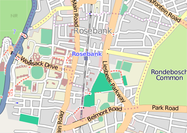
This map of Rosebank was created from OpenStreetMap project data, collected by the community. This map may be incomplete, and may contain errors. Don't rely solely on it for navigation. |
| Date | (see file history) |
| Source | openstreetmap.org |
| Creator |
OpenStreetMap contributors |
| Permission (Reusing this file) |
OpenStreetMap data and maps are licensed under the Creative Commons Attribution-ShareAlike 2.0 license (CC-BY-SA 2.0). This file is licensed under the Creative Commons Attribution-Share Alike 2.0 Generic license.
|
| Georeferencing | If inappropriate please set warp_status = skip to hide. |
| Other versions | File:Rosebank OSM map.svg |
File history
Click on a date/time to view the file as it appeared at that time.
| Date/Time | Thumbnail | Dimensions | User | Comment | |
|---|---|---|---|---|---|
| current | 12:19, 10 February 2009 | | 364 × 259 (768 KB) | Htonl (talk | contribs) | {{OpenStreetMap|name=Rosebank}} Category:Maps of Cape Town suburbs <!--{{ImageUpload|basic}}--> |
You cannot overwrite this file.
File usage on Commons
There are no pages that use this file.
File usage on other wikis
The following other wikis use this file:
- Usage on af.wikipedia.org