File:Road to Assateague Island, Eastern Shore, Virginia (14444567903).jpg

Original file (4,000 × 3,000 pixels, file size: 2.65 MB, MIME type: image/jpeg)
Captions
Captions
Summary[edit]
.jpg&action=edit§ion=1)
| Description |
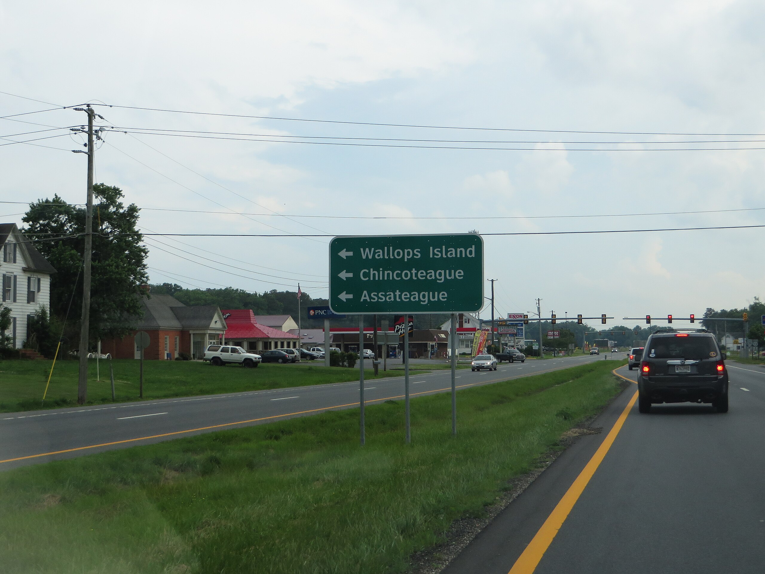
Assateague Island is a 37-mile (60 km) long barrier island located off the eastern coast of Delmarva. The northern two-thirds of the island is in Maryland while the southern third is in Virginia. The Maryland section contains the majority of Assateague Island National Seashore and Assateague State Park. The Virginia section contains Chincoteague National Wildlife Refuge and a small part of the national seashore. It is best known for its herds of feral horses, pristine beaches, and the Assateague Lighthouse. The island also contains numerous marshes, bays, and coves, including Toms Cove. Bridge access for cars is possible from both Maryland and Virginia, though no road runs the full length of the island. en.wikipedia.org/wiki/Assateague_Island en.wikipedia.org/wiki/Wikipedia:Text_of_Creative_Commons_... |
| Date | |
| Source | Road to Assateague Island, Eastern Shore, Virginia |
| Author | Ken Lund from Reno, Nevada, USA |
| Camera location | | View this and other nearby images on: OpenStreetMap |
|---|
.jpg¶ms=037.947736_N_-075.539184_E_globe:Earth_type:camera_source:Flickr_&language=en)
Licensing[edit]
.jpg&action=edit§ion=2)
- You are free:
- to share – to copy, distribute and transmit the work
- to remix – to adapt the work
- Under the following conditions:
- attribution – You must give appropriate credit, provide a link to the license, and indicate if changes were made. You may do so in any reasonable manner, but not in any way that suggests the licensor endorses you or your use.
- share alike – If you remix, transform, or build upon the material, you must distribute your contributions under the same or compatible license as the original.
| This image was originally posted to Flickr by Ken Lund at https://flickr.com/photos/75683070@N00/14444567903. It was reviewed on 3 November 2016 by FlickreviewR and was confirmed to be licensed under the terms of the cc-by-sa-2.0. |
File history
Click on a date/time to view the file as it appeared at that time.
| Date/Time | Thumbnail | Dimensions | User | Comment | |
|---|---|---|---|---|---|
| current | 16:31, 3 November 2016 | | 4,000 × 3,000 (2.65 MB) | Ser Amantio di Nicolao (talk | contribs) | Transferred from Flickr via Flickr2Commons |
You cannot overwrite this file.
File usage on Commons
There are no pages that use this file.
.jpg&oldid=575744902)