File:Ripshin house from southwest.jpg
Jump to navigation
Jump to search

Size of this preview: 800 × 532 pixels. Other resolutions: 320 × 213 pixels | 640 × 426 pixels | 1,024 × 681 pixels | 1,280 × 851 pixels | 2,560 × 1,702 pixels | 6,016 × 4,000 pixels.
Original file (6,016 × 4,000 pixels, file size: 6.38 MB, MIME type: image/jpeg)
Captions
Captions
Add a one-line explanation of what this file represents
|
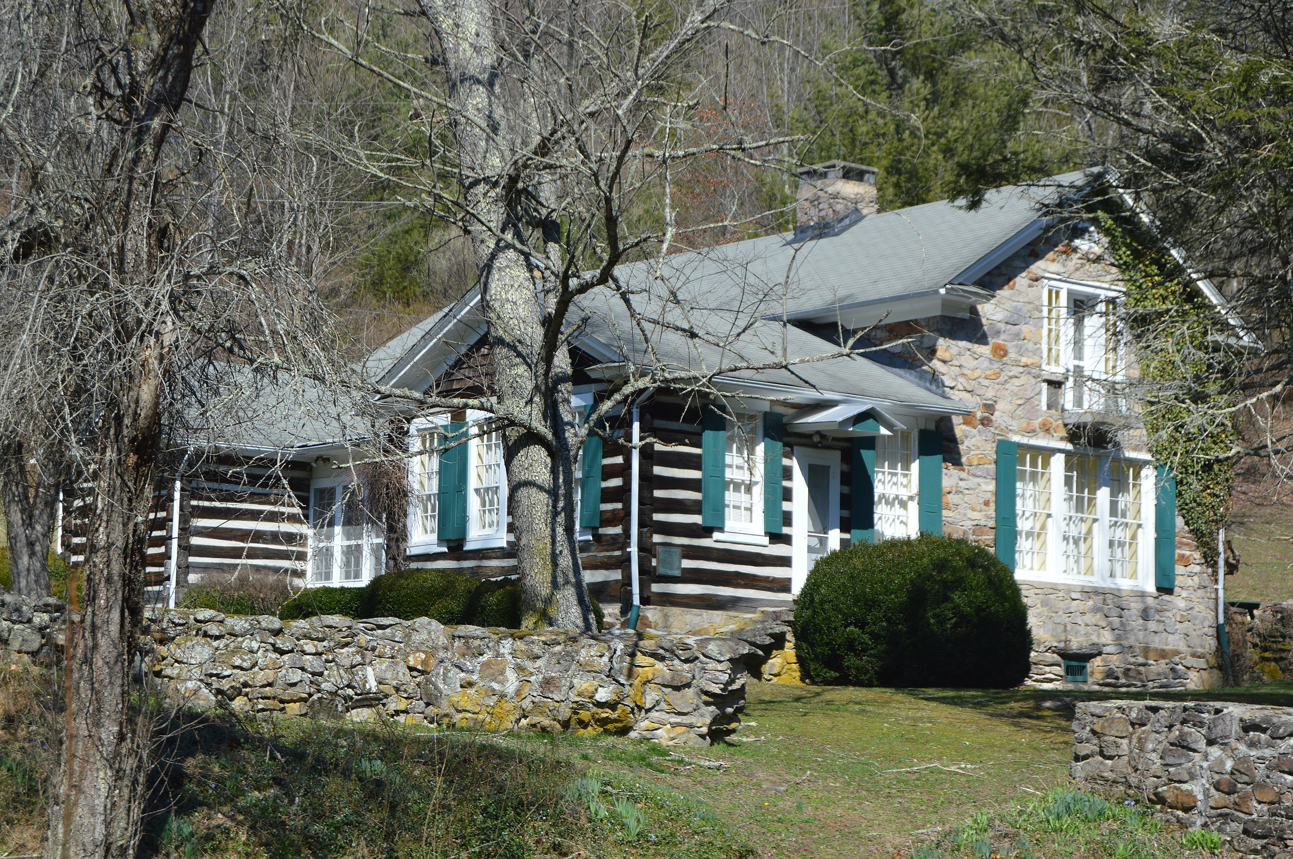
This is an image of a place or building that is listed on the National Register of Historic Places in the United States of America. Its reference number is 71000979. |
| Camera location | | View this and other nearby images on: OpenStreetMap |
|---|
| Description |
English: Roadside view of the house at Ripshin Farm, located on Laurel Creek Road east of Troutdale in Grayson County, Virginia, United States. Built in 1925, it was the home of author Sherwood Anderson, and it has been declared a National Historic Landmark. |
||
| Date | Taken on 4 March 2017 | ||
| Source | Own work | ||
| Author | Nyttend | ||
| Permission (Reusing this file) |
|
File history
Click on a date/time to view the file as it appeared at that time.
| Date/Time | Thumbnail | Dimensions | User | Comment | |
|---|---|---|---|---|---|
| current | 02:41, 15 March 2017 | | 6,016 × 4,000 (6.38 MB) | Nyttend (talk | contribs) | {{NRHP|71000979}} {{Location|36|41|48|N|81|24|26|W}} {{Information |Description={{en|Roadside view of the house at {{w|Ripshin Farm}}, located on Laurel Creek Road east of {{w|Troutdale, Virginia|Troutdale}} in {{w|Grayson County, Virginia|Grayson Coun... |
You cannot overwrite this file.
File usage on Commons
There are no pages that use this file.
File usage on other wikis
The following other wikis use this file:
- Usage on en.wikipedia.org
- Usage on fr.wikipedia.org
- Usage on www.wikidata.org