File:Rhone river course with France and Switzerland borders.svg
Jump to navigation
Jump to search

Size of this PNG preview of this SVG file: 212 × 180 pixels. Other resolutions: 283 × 240 pixels | 565 × 480 pixels | 905 × 768 pixels | 1,206 × 1,024 pixels | 2,412 × 2,048 pixels.
Original file (SVG file, nominally 212 × 180 pixels, file size: 117 KB)
Captions
Captions
Add a one-line explanation of what this file represents
Summary[edit]
| Description | |
| Date | (UTC) |
| Source |
Own work. Source :
|
| Author | Sémhur |
| Permission (Reusing this file) |
|
| Attribution (required by the license) | © Sémhur / Wikimedia Commons / |
| SVG development |
| Camera location | | View this and other nearby images on: OpenStreetMap |
|---|
Licensing[edit]
I, the copyright holder of this work, hereby publish it under the following licenses:
| Copyleft: This work of art is free; you can redistribute it and/or modify it according to terms of the Free Art License. You will find a specimen of this license on the Copyleft Attitude site as well as on other sites. |
This file is licensed under the Creative Commons Attribution-Share Alike 4.0 International, 3.0 Unported, 2.5 Generic, 2.0 Generic and 1.0 Generic license.
- You are free:
- to share – to copy, distribute and transmit the work
- to remix – to adapt the work
- Under the following conditions:
- attribution – You must give appropriate credit, provide a link to the license, and indicate if changes were made. You may do so in any reasonable manner, but not in any way that suggests the licensor endorses you or your use.
- share alike – If you remix, transform, or build upon the material, you must distribute your contributions under the same or compatible license as the original.
You may select the license of your choice.
Original upload log[edit]
This image is a derivative work of the following images:
- File:France_map_Lambert-93_with_rivers-blank.svg licensed with Cc-by-sa-3.0,2.5,2.0,1.0, GFDL
- 2008-11-13T17:40:30Z Sting 2000x1898 (901649 Bytes) + boundary for Channel Islands ; - canals
- 2008-10-01T04:35:28Z Sting 2000x1898 (875598 Bytes) == Summary == {{Location|46|15|00|N|02|06|00|E|scale:10000000}} {{Information |Description={{en|Blank map of [[:en:France|France]] in the official Lambert-93 projection, with rivers.}} {{fr|Carte vierge de la [[:fr:France|Fr
Uploaded with derivativeFX
File history
Click on a date/time to view the file as it appeared at that time.
| Date/Time | Thumbnail | Dimensions | User | Comment | |
|---|---|---|---|---|---|
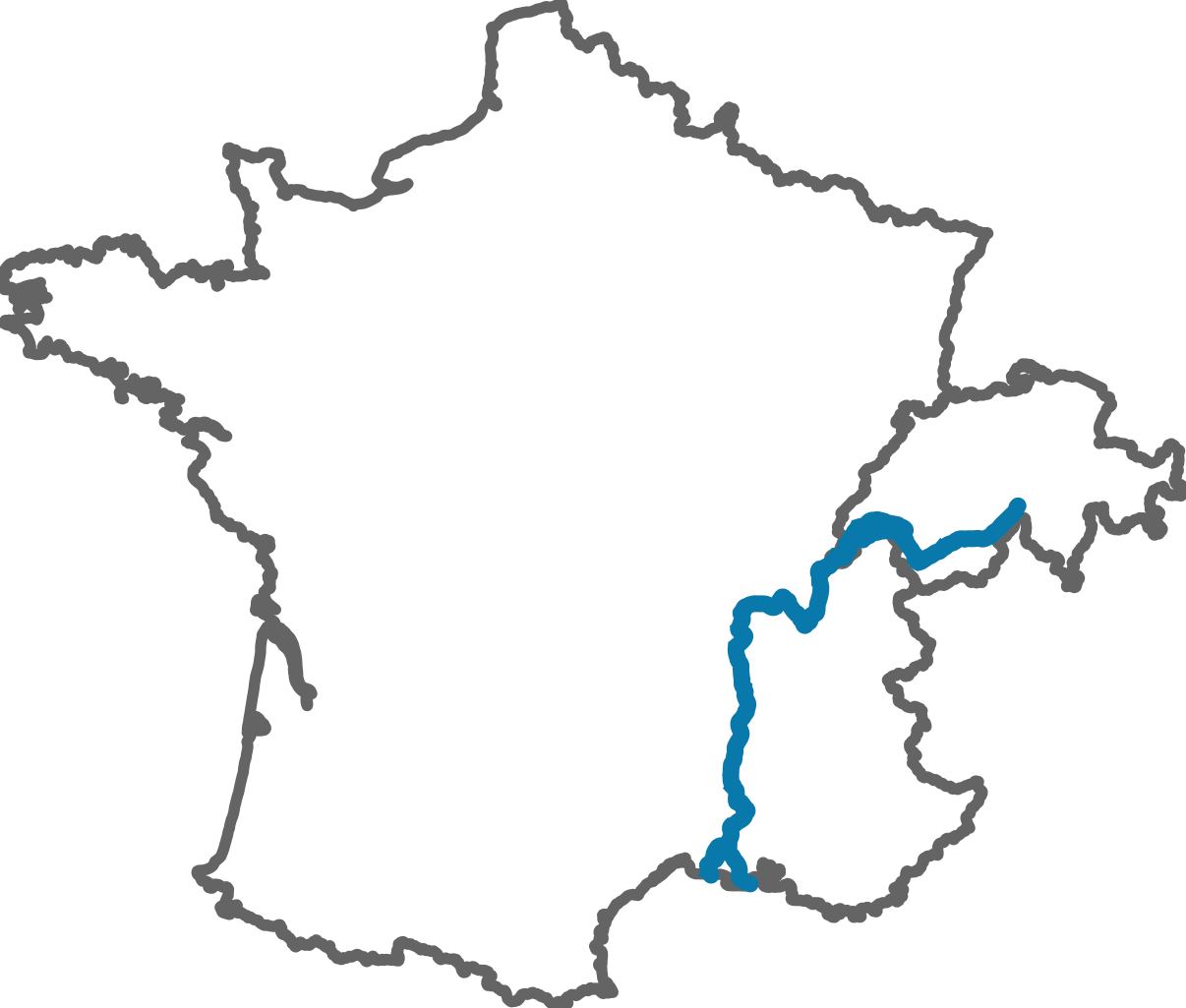
| current | 09:39, 11 July 2011 | | 212 × 180 (117 KB) | Sémhur (talk | contribs) | == {{int:filedesc}} == {{Information |Description={{Multilingual description |en= Blank map of en:Rhone river, with France and Switzerland borders. Use Lambert-93 projection and RGF93 datum. |fr= Carte vierge montrant le cours du fr:Rhône et |
You cannot overwrite this file.
File usage on Commons
There are no pages that use this file.
File usage on other wikis
The following other wikis use this file:
- Usage on fr.wikipedia.org
- Rhône
- Lac de Paladru
- Doubs (rivière)
- Valence (Drôme)
- Isère (rivière)
- Vienne (Isère)
- Bourg-Saint-Andéol
- Arc (affluent de l'Isère)
- Sion (Valais)
- Vignoble de la vallée du Rhône
- Léman
- Bellegarde-sur-Valserine
- Seyssel (Ain)
- Chéran
- Lac d'Annecy
- Genève
- Aigle (Vaud)
- Chessel
- Lavey-Morcles
- Noville (Vaud)
- Ollon
- Yvorne
- Discussion:Lac d'Annecy
- Tournon-sur-Rhône
- Vernier (Genève)
- Satigny
- Arles
- Tain-l'Hermitage
- Saône
- Camargue
- Fier (rivière)
- Ardon (Valais)
- Gier
- Discussion:Avignon
- Orange (Vaucluse)
- Martigny
- Autruche (rivière)
- Montélimar
- Madeleine (rivière)
- Discussion:Madeleine (rivière)
- Arly
- Discussion:Bourg-Saint-Andéol
- Gardon (rivière)
- Onex (Genève)
- Saint-Paul-Trois-Châteaux
- Pierre-Bénite
- Massongex
- Lac du Bourget
- Cruas
- Beauchastel
View more global usage of this file.