File:Resort-Shirakami-Buna in Akita 20160716.jpg
From Wikimedia Commons, the free media repository
Jump to navigation
Jump to search
Size of this preview: 800 × 451 pixels. Other resolutions: 320 × 180 pixels | 640 × 361 pixels | 1,024 × 577 pixels | 1,280 × 722 pixels | 3,264 × 1,840 pixels.
Original file (3,264 × 1,840 pixels, file size: 1.66 MB, MIME type: image/jpeg)
File information
Structured data
Captions
Summary[edit]
DescriptionResort-Shirakami-Buna in Akita 20160716.jpg |
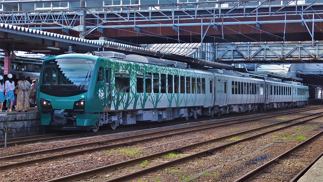
日本語: 2016年7月16日に運行を開始した新型リゾートしらかみ、橅編成
English: The JR East HB-E300 series Resort Shirakami - Buna 4-car DMU set at Akita Station |
Date | |
Source | Own work |
Author | 掬茶 |
Camera location | 39° 43′ 04.66″ N, 140° 07′ 45.98″ E | View this and other nearby images on: OpenStreetMap | 39.717960; 140.129439 |
---|
Licensing[edit]
I, the copyright holder of this work, hereby publish it under the following license:
This file is licensed under the Creative Commons Attribution-Share Alike 4.0 International license.
- You are free:
- to share – to copy, distribute and transmit the work
- to remix – to adapt the work
- Under the following conditions:
- attribution – You must give appropriate credit, provide a link to the license, and indicate if changes were made. You may do so in any reasonable manner, but not in any way that suggests the licensor endorses you or your use.
- share alike – If you remix, transform, or build upon the material, you must distribute your contributions under the same or compatible license as the original.
File history
Click on a date/time to view the file as it appeared at that time.
Date/Time | Thumbnail | Dimensions | User | Comment | |
---|---|---|---|---|---|
current | 15:08, 22 March 2020 | 3,264 × 1,840 (1.66 MB) | 掬茶 (talk | contribs) | correct color | |
01:26, 16 July 2016 | 3,264 × 1,840 (2.94 MB) | 掬茶 (talk | contribs) | User created page with UploadWizard |
You cannot overwrite this file.
File usage on Commons
The following 6 pages use this file:
File usage on other wikis
The following other wikis use this file:
- Usage on azb.wikipedia.org
- Usage on bcl.wikipedia.org
- Usage on da.wikipedia.org
- Usage on fr.wikipedia.org
- Usage on tl.wikipedia.org
- Usage on vi.wikipedia.org
Metadata
This file contains additional information such as Exif metadata which may have been added by the digital camera, scanner, or software program used to create or digitize it. If the file has been modified from its original state, some details such as the timestamp may not fully reflect those of the original file. The timestamp is only as accurate as the clock in the camera, and it may be completely wrong.
Camera manufacturer | FUJIFILM |
---|---|
Camera model | FinePix F770EXR |
Exposure time | 1/400 sec (0.0025) |
F-number | f/4.6 |
ISO speed rating | 200 |
Date and time of data generation | 08:13, 16 July 2016 |
Lens focal length | 13.7 mm |
Latitude | 39° 43′ 5.13″ N |
Longitude | 140° 7′ 46.62″ E |
Altitude | 36.6 meters above sea level |
Orientation | Normal |
Horizontal resolution | 72 dpi |
Vertical resolution | 72 dpi |
Software used | Windows Photo Editor 10.0.10011.16384 |
File change date and time | 00:08, 23 March 2020 |
Y and C positioning | Co-sited |
Exposure Program | Manual |
Exif version | 2.3 |
Date and time of digitizing | 08:13, 16 July 2016 |
Meaning of each component |
|
Image compression mode | 4 |
APEX shutter speed | 8.7 |
APEX aperture | 4.4 |
APEX brightness | 6.91 |
APEX exposure bias | 0 |
Maximum land aperture | 3.6 APEX (f/3.48) |
Metering mode | Pattern |
Light source | Unknown |
Flash | Flash did not fire, compulsory flash suppression |
Supported Flashpix version | 1 |
Color space | sRGB |
Focal plane X resolution | 5,077 |
Focal plane Y resolution | 5,077 |
Focal plane resolution unit | 3 |
Sensing method | One-chip color area sensor |
File source | Digital still camera |
Scene type | A directly photographed image |
Custom image processing | Normal process |
Exposure mode | Manual exposure |
White balance | Auto white balance |
Scene capture type | Standard |
Sharpness | Normal |
Subject distance range | Unknown |
GPS time (atomic clock) | 23:13 |
Satellites used for measurement | 5 |
Receiver status | Measurement in progress |
Measurement mode | 3-dimensional measurement |
Measurement precision | Poor (2.15) |
Speed unit | Kilometers per hour |
Speed of GPS receiver | 2.23 |
Reference for direction of image | True direction |
Direction of image | 155.22 |
Geodetic survey data used | WGS-84 |
GPS date | 15 July 2016 |
GPS tag version | 2.3.0.0 |