File:Republika Srpska Topography Map Blank.svg
Jump to navigation
Jump to search

Size of this PNG preview of this SVG file: 546 × 600 pixels. Other resolutions: 218 × 240 pixels | 437 × 480 pixels | 699 × 768 pixels | 932 × 1,024 pixels | 1,865 × 2,048 pixels | 915 × 1,005 pixels.
Original file (SVG file, nominally 915 × 1,005 pixels, file size: 3.09 MB)
Captions
Captions
Add a one-line explanation of what this file represents
| Description |
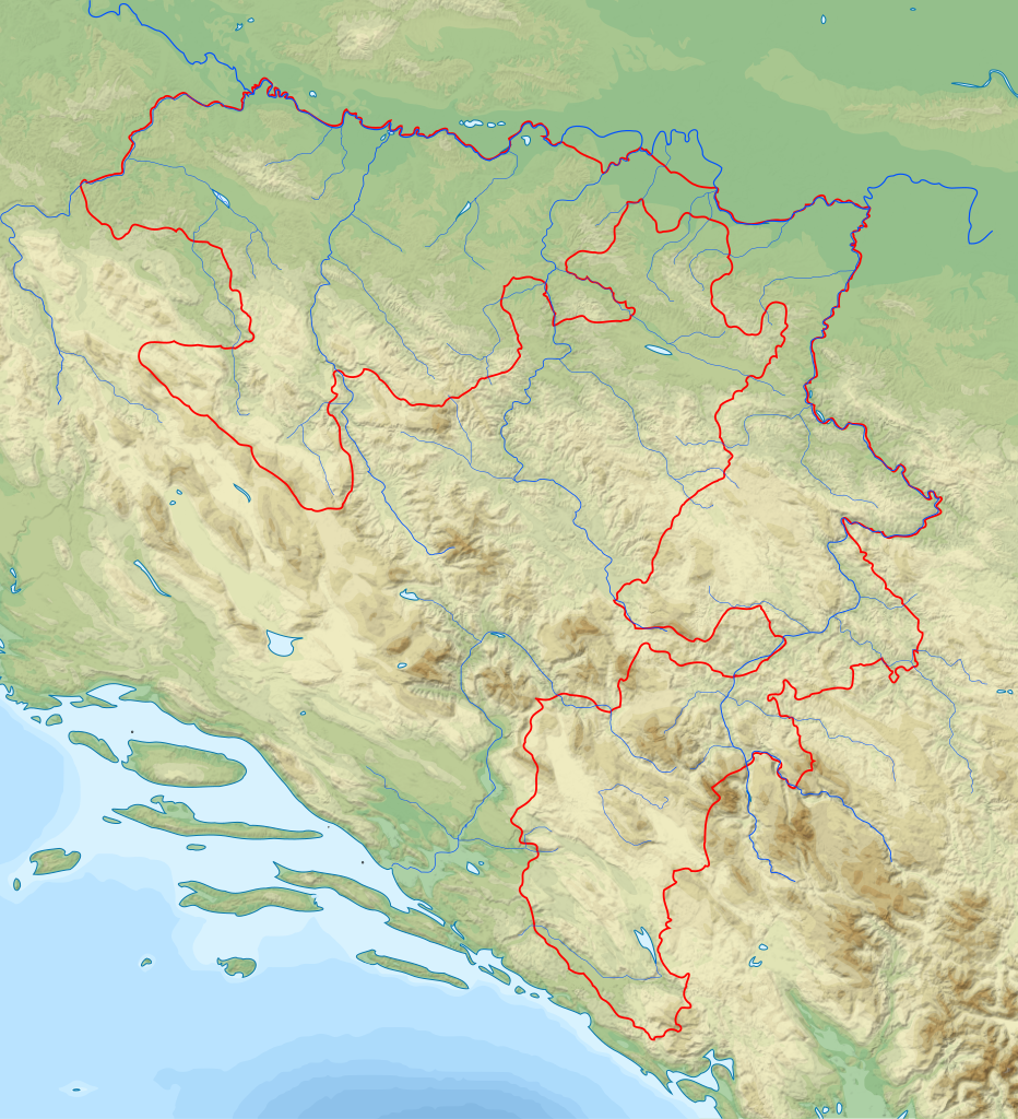
English: Topographic Map of Republika Srpska Српски / srpski: Топографска карта Републике Српске. |
| Date | (UTC) |
| Source | |
| Author |
|
| Other versions | Derivative works of this file: Republika Srpska Topography Map Blank (black borders).svg |
.svg)
| This is a retouched picture, which means that it has been digitally altered from its original version. Modifications: Made map for Republika Srpska topography. The original can be viewed here: Dinaric Alps map-fr.svg:
|
I, the copyright holder of this work, hereby publish it under the following licenses:
This file is licensed under the Creative Commons Attribution-Share Alike 3.0 Unported, 2.5 Generic, 2.0 Generic and 1.0 Generic license.
- You are free:
- to share – to copy, distribute and transmit the work
- to remix – to adapt the work
- Under the following conditions:
- attribution – You must give appropriate credit, provide a link to the license, and indicate if changes were made. You may do so in any reasonable manner, but not in any way that suggests the licensor endorses you or your use.
- share alike – If you remix, transform, or build upon the material, you must distribute your contributions under the same or compatible license as the original.

|
Permission is granted to copy, distribute and/or modify this document under the terms of the GNU Free Documentation License, Version 1.2 or any later version published by the Free Software Foundation; with no Invariant Sections, no Front-Cover Texts, and no Back-Cover Texts. A copy of the license is included in the section entitled GNU Free Documentation License. |
You may select the license of your choice.
Original upload log[edit]
This image is a derivative work of the following images:
- File:Dinaric_Alps_map-fr.svg licensed with Cc-by-sa-3.0,2.5,2.0,1.0, GFDL
- 2008-11-23T15:38:53Z Sémhur 1857x1503 (3802578 Bytes) Correction autoroutes
- 2008-11-18T21:52:14Z Sémhur 1857x1503 (3932522 Bytes) Bonne version...
- 2008-11-18T19:26:19Z Sémhur 1857x1503 (3758275 Bytes) Correction du nom d'une montagne.
- 2008-11-18T19:21:59Z Sémhur 1857x1503 (3758275 Bytes) {{Information |Description={{en|1=General map of [[:en:Dinaric Alps|Dinaric Alps]], in French.}} {{fr|1=Carte générale de la chaîne des [[:fr:Alpes Dinariques|Alpes Dinariques]].}} |Source=travail personnel (own work). Sou
Uploaded with derivativeFX
File history
Click on a date/time to view the file as it appeared at that time.
| Date/Time | Thumbnail | Dimensions | User | Comment | |
|---|---|---|---|---|---|
| current | 10:44, 22 January 2011 | | 915 × 1,005 (3.09 MB) | Ivan25 (talk | contribs) | Map is centred. |
| 08:41, 22 January 2011 |  | 936 × 960 (3.09 MB) | Ivan25 (talk | contribs) | Added hidrography. | |
| 22:05, 18 January 2011 |  | 936 × 960 (3.02 MB) | Ivan25 (talk | contribs) | {{Information |Description={{en|1=Topographic Map of Republika Srpska}} {{sr|1=Топографска карта Републике Српске.}} |Source=*File:Dinaric_Alps_map-fr.svg |Date=2011-01-18 22:02 (UTC) |Author=*[[:File:Dinaric_Alps_map- |
You cannot overwrite this file.
File usage on Commons
The following 2 pages use this file:
File usage on other wikis
The following other wikis use this file: