File:Reliefkarte Luxemburg.png
Jump to navigation
Jump to search
Size of this preview: 433 × 600 pixels. Other resolutions: 173 × 240 pixels | 346 × 480 pixels | 554 × 768 pixels | 739 × 1,024 pixels | 1,432 × 1,983 pixels.
Original file (1,432 × 1,983 pixels, file size: 3.62 MB, MIME type: image/png)
Captions
Captions
Add a one-line explanation of what this file represents
Summary[edit]
| Description |
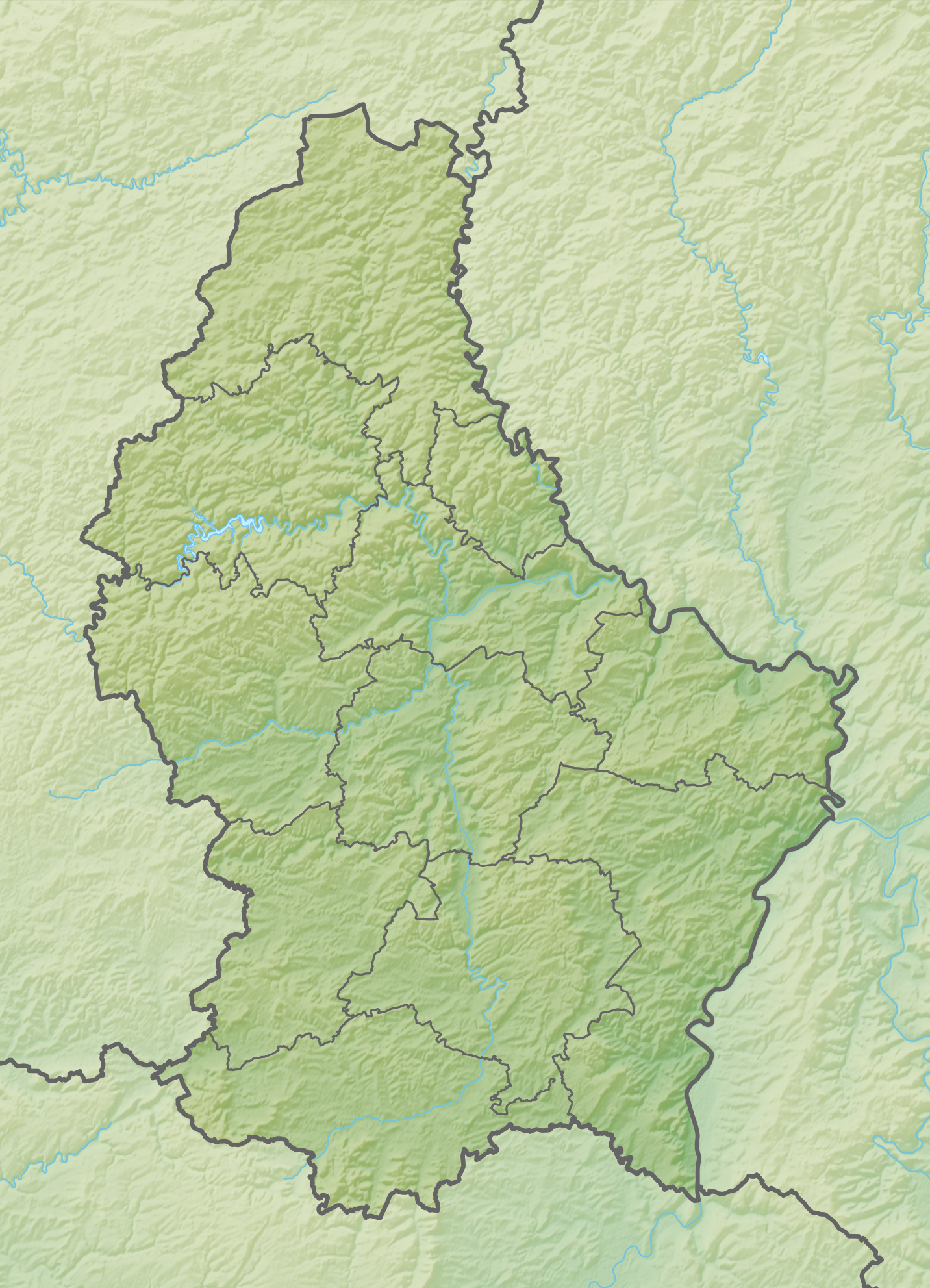
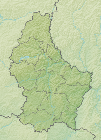
Deutsch: Reliefkarte Luxemburg
Topographischer Hintergrund: NASA Shuttle Radar Topography Mission (public domain). SRTM3 v.2. |
||||||||
| Date | |||||||||
| Source | Own work | ||||||||
| Author | Tschubby | ||||||||
| Permission (Reusing this file) |
I, the copyright holder of this work, hereby publish it under the following licenses:
This file is licensed under the Creative Commons Attribution-Share Alike 2.5 Generic, 2.0 Generic and 1.0 Generic license.
You may select the license of your choice. |

File history
Click on a date/time to view the file as it appeared at that time.
| Date/Time | Thumbnail | Dimensions | User | Comment | |
|---|---|---|---|---|---|
| current | 14:38, 5 May 2018 | | 1,432 × 1,983 (3.62 MB) | Tschubby (talk | contribs) | == {{int:filedesc}} == {{Information |Description= {{de| Reliefkarte Luxemburg}} Topographischer Hintergrund: [http://www2.jpl.nasa.gov/srtm NASA Shuttle Radar Topography Mission] (public domain). SRTM3 v.2. |Source={{own}} |Date= 2018-05-05 |Author= Tschubby |Permission= {{self|GFDL|Cc-by-sa-3.0-migrated|Cc-by-sa-2.5,2.0,1.0}} |other_versions= }} Category:Location maps of Luxembourg |
You cannot overwrite this file.
File usage on Commons
The following page uses this file:
File usage on other wikis
The following other wikis use this file:
- Usage on bg.wikipedia.org
- Шенген
- Люксембург (град)
- Ехтернах
- Дикирх
- Шаблон:ПК Люксембург
- Финдел
- Алсхайд
- Ан (Люксембург)
- Асел
- Арсдорф
- Ансамбур
- Алтриер
- Берг (Люксембург)
- Бецдорф
- Сандвайлер
- Вормелданж
- Бус (комуна)
- Рамбруш
- Тюнтанж
- Бех
- Кишпелт
- Башараж
- Бофор
- Бекерих
- Бердорф
- Бертранж
- Есперанж
- Нидеранвен
- Щайнсел
- Булед
- Бисен
- Клеманси
- Фингиг
- Диферданж
- Usage on da.wikipedia.org
- Usage on de.wikipedia.org
- Junglinster
- Burg Vianden
- Burg Bourscheid
- Sender Düdelingen
- Obersauer-Stausee
- Burg Beaufort (Luxemburg)
- Pumpspeicherwerk Vianden
- Kneiff
- Vorlage:Positionskarte Luxemburg
- Kategorie:Rennstrecke in Luxemburg
- Wikipedia:Kartenwerkstatt/Positionskarten/Europa
- Markusberg-Tunnel
- Gousselerbierg-Tunnel
- Diskussion:Sender Düdelingen
- Schloss Koerich
View more global usage of this file.