File:Reliefkarte Graubünden Aussichtstürme.png
Jump to navigation
Jump to search

Size of this preview: 780 × 599 pixels. Other resolutions: 312 × 240 pixels | 625 × 480 pixels | 999 × 768 pixels | 1,280 × 984 pixels | 2,560 × 1,968 pixels | 4,481 × 3,444 pixels.
Original file (4,481 × 3,444 pixels, file size: 10.25 MB, MIME type: image/png)
Captions
Captions
Add a one-line explanation of what this file represents

| Description |
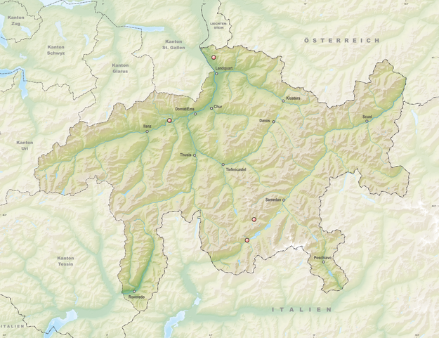
Deutsch: Aussichtstürme des Kantons Graubünden
Topographischer Hintergrund: NASA Shuttle Radar Topography Mission (public domain). SRTM3 v.2. |
||||||||
| Date | |||||||||
| Source | Own work | ||||||||
| Author | Tschubby | ||||||||
| Permission (Reusing this file) |
I, the copyright holder of this work, hereby publish it under the following licenses:
This file is licensed under the Creative Commons Attribution-Share Alike 2.5 Generic, 2.0 Generic and 1.0 Generic license.
You may select the license of your choice. |

File history
Click on a date/time to view the file as it appeared at that time.
| Date/Time | Thumbnail | Dimensions | User | Comment | |
|---|---|---|---|---|---|
| current | 17:04, 30 October 2021 | | 4,481 × 3,444 (10.25 MB) | Tschubby (talk | contribs) | {{Information |Description= |Source= |Date= |Author= |Permission= |other_versions= }} |
| 17:03, 8 July 2017 |  | 4,481 × 3,444 (10.25 MB) | Tschubby (talk | contribs) | {{Information |Description= |Source= |Date= |Author= |Permission= |other_versions= }} | |
| 13:42, 29 September 2014 |  | 4,483 × 3,445 (10.21 MB) | Tschubby (talk | contribs) | <imagemap> Image:Reliefkarte Graubünden Aussichtstürme.png|thumb|643px|left|Interaktive Karte circle 1734 1229 20 Il spir circle 2524 2449 20 Torre Belvedere desc bottom-left </imagemap> {{Information |Description= {{d... |
You cannot overwrite this file.
File usage on Commons
The following page uses this file:
File usage on other wikis
The following other wikis use this file:
- Usage on de.wikipedia.org