File:Reliefkarte Genfer Seen.png
Jump to navigation
Jump to search
Size of this preview: 654 × 600 pixels. Other resolutions: 262 × 240 pixels | 524 × 480 pixels | 999 × 916 pixels.
Original file (999 × 916 pixels, file size: 564 KB, MIME type: image/png)
Captions
Captions
Add a one-line explanation of what this file represents

| Description |
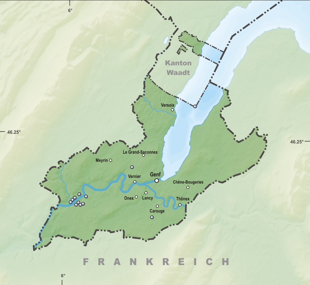
Deutsch: Seen/Weiher des Kantons Genf
Topographischer Hintergrund: NASA Shuttle Radar Topography Mission (public domain). SRTM3 v.2. |
||||||||
| Date | |||||||||
| Source | Own work | ||||||||
| Author | Tschubby | ||||||||
| Permission (Reusing this file) |
I, the copyright holder of this work, hereby publish it under the following licenses:
This file is licensed under the Creative Commons Attribution-Share Alike 2.5 Generic, 2.0 Generic and 1.0 Generic license.
You may select the license of your choice. |

File history
Click on a date/time to view the file as it appeared at that time.
| Date/Time | Thumbnail | Dimensions | User | Comment | |
|---|---|---|---|---|---|
| current | 11:18, 31 March 2017 | | 999 × 916 (564 KB) | Tschubby (talk | contribs) | {{Information |Description= |Source= |Date= |Author= |Permission= |other_versions= }} |
| 07:56, 14 August 2015 |  | 999 × 915 (819 KB) | Tschubby (talk | contribs) | {{Information |Description= |Source= |Date= |Author= |Permission= |other_versions= }} | |
| 06:19, 16 July 2015 |  | 999 × 916 (816 KB) | Tschubby (talk | contribs) | {{Information |Description= |Source= |Date= |Author= |Permission= |other_versions= }} | |
| 06:07, 16 July 2015 |  | 999 × 915 (815 KB) | Tschubby (talk | contribs) | {{Information |Description= {{de| Seen/Weiher des Kantons Genf}} Topographischer Hintergrund: [http://www2.jpl.nasa.gov/srtm NASA Shuttle Radar Topography Mission] (public domain). SRTM3 v.2. |Source={{own}} |Date= 2015-07-16 |Author= [[:de:User:Tschub... |
You cannot overwrite this file.
File usage on Commons
The following page uses this file:
File usage on other wikis
The following other wikis use this file:
- Usage on de.wikipedia.org