File:Relief map of Spain Balearic Islands.png
Jump to navigation
Jump to search
Size of this preview: 800 × 522 pixels. Other resolutions: 320 × 209 pixels | 640 × 417 pixels | 1,024 × 668 pixels | 1,280 × 835 pixels | 2,332 × 1,521 pixels.
Original file (2,332 × 1,521 pixels, file size: 792 KB, MIME type: image/png)
Captions
Captions
Add a one-line explanation of what this file represents
Summary[edit]
| Description |
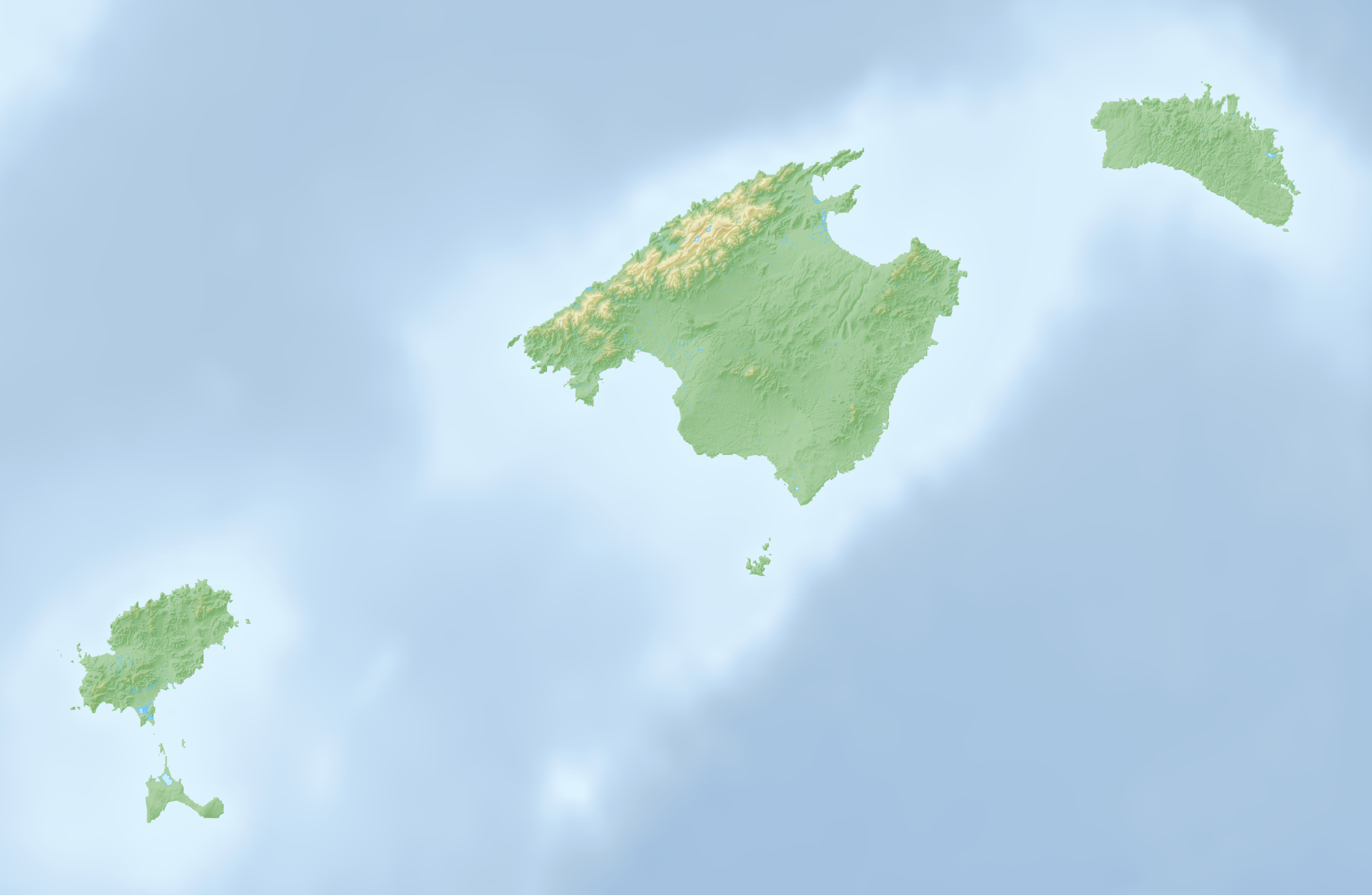
Deutsch: Reliefkarte der Balearischen Inseln |
| Date | |
| Source | Own work, Topographischer Hintergrund: NASA Shuttle Radar Topography Mission (public domain). SRTM3 v.2. |
| Author | Tschubby |
Licensing[edit]
I, the copyright holder of this work, hereby publish it under the following licenses:

|
Permission is granted to copy, distribute and/or modify this document under the terms of the GNU Free Documentation License, Version 1.2 or any later version published by the Free Software Foundation; with no Invariant Sections, no Front-Cover Texts, and no Back-Cover Texts. A copy of the license is included in the section entitled GNU Free Documentation License. |
This file is licensed under the Creative Commons Attribution-Share Alike 3.0 Unported, 2.5 Generic, 2.0 Generic and 1.0 Generic license.
- You are free:
- to share – to copy, distribute and transmit the work
- to remix – to adapt the work
- Under the following conditions:
- attribution – You must give appropriate credit, provide a link to the license, and indicate if changes were made. You may do so in any reasonable manner, but not in any way that suggests the licensor endorses you or your use.
- share alike – If you remix, transform, or build upon the material, you must distribute your contributions under the same or compatible license as the original.
You may select the license of your choice.
File history
Click on a date/time to view the file as it appeared at that time.
| Date/Time | Thumbnail | Dimensions | User | Comment | |
|---|---|---|---|---|---|
| current | 16:07, 7 April 2022 | | 2,332 × 1,521 (792 KB) | Tschubby (talk | contribs) | == {{int:filedesc}} == {{Information |Description={{de|Reliefkarte der Balearischen Inseln}} |Source={{own}}, Hintergrund: [http://www.openstreetmap.org Openstreetmap] |Date=2022-04-07 |Author=Tschubby |Permission= |other_versions= }} == {{int:license-header}} == {{self|GFDL|cc-by-sa-3.0,2.5,2.0,1.0}} Category:Maps of the Balearic Islands Category:Location maps of the Balearic Islands |
You cannot overwrite this file.
File usage on Commons
There are no pages that use this file.
File usage on other wikis
The following other wikis use this file:
- Usage on de.wikipedia.org
- Pityusen
- Sa Dragonera
- Ses Païsses
- Cala Tuent
- Cala Morlanda
- S’Arenal de Sa Canova
- Es Ribell
- Cala Torta
- Cala Varques
- Cala Agulla
- Cala Moltó
- Cala Son Moll
- Cala Mesquida
- Platja de Canyamel
- Espalmador
- Puig Major
- Puig de Massanella
- Torralba d’en Salord
- Torre d’en Galmés
- Cala Vadella
- Es Vedrà
- Cala Carbo
- Cala des Matzoc
- Cala Mitjana (Artà)
- Cala Estreta
- Sa Font Celada
- Estany Pudent
- S’Arenalet des Verger
- Talaiotische Siedlung von Capocorb Vell
- Es Pantaleu
- Cala Gat
- Talatí de Dalt
- Platja de Son Real
- Platja des Caragol
- Talaiotische Siedlung von Sa Canova
- Cala Nau
- Son Fornés
- Prähistorisches Dorf von S’Hospitalet Vell
- Puig de Randa
- Platja de sa Marjal
- Cala Millor (Arenal de Son Servera)
- Cala Millor (Platja de Sant Llorenç)
- Son Moro (Platja de Sant Llorenç)
- Talaiotische Siedlung von S’Illot
- Son Catlar
- Wikipedia:Kartenwerkstatt/Positionskarten/Europa
- Caló d’en Rafalino
- Faraió d’Aubarca
- Torre des Matzoc
- Castell de sa Punta de n’Amer
View more global usage of this file.