File:Regions and Prefectures of Japan - blank.svg
Jump to navigation
Jump to search

Size of this PNG preview of this SVG file: 452 × 599 pixels. Other resolutions: 181 × 240 pixels | 362 × 480 pixels | 580 × 768 pixels | 773 × 1,024 pixels | 1,546 × 2,048 pixels | 570 × 755 pixels.
Original file (SVG file, nominally 570 × 755 pixels, file size: 46 KB)
Captions
Captions
Add a one-line explanation of what this file represents
Summary[edit]
| Description |
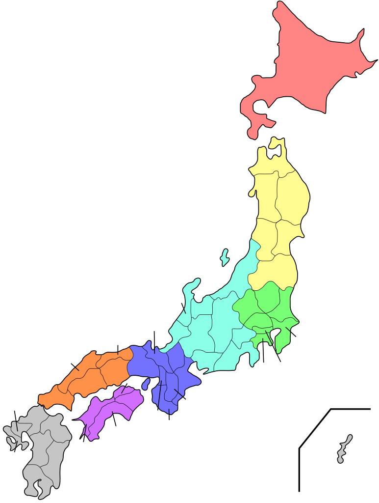
English: Map of the regions and prefectures of Japan without labels.
日本語: 日本の地域と都道府県の地図(無印)
中文(繁體):日本都道府縣及地方分區圖(無標籤) |
| Date | |
| Source | Own work based on: File:Regions and Prefectures of Japan.svg by User:Orange Wave |
| Author | Bigmorr |
| Other versions |
[]
|
| SVG development | This W3C-invalid map was created with Adobe Illustrator. |


.svg)
.svg)
.svg)
.svg)


.svg)


.png)

.png)
.svg)

.svg)


Licensing[edit]
| I, the copyright holder of this work, release this work into the public domain. This applies worldwide. In some countries this may not be legally possible; if so: I grant anyone the right to use this work for any purpose, without any conditions, unless such conditions are required by law. |
File history
Click on a date/time to view the file as it appeared at that time.
| Date/Time | Thumbnail | Dimensions | User | Comment | |
|---|---|---|---|---|---|
| current | 20:17, 19 October 2018 | | 570 × 755 (46 KB) | Bigmorr (talk | contribs) | User created page with UploadWizard |
You cannot overwrite this file.
File usage on Commons
The following 32 pages use this file:
- File:Japan map.png
- File:Japan map korean.png
- File:Regiones y prefecturas de Japón.png
- File:Regions and Prefectures of Japan.svg
- File:Regions and Prefectures of Japan (eo).svg
- File:Regions and Prefectures of Japan (fr).svg
- File:Regions and Prefectures of Japan (gl).svg
- File:Regions and Prefectures of Japan (ja).png
- File:Regions and Prefectures of Japan (ja).svg
- File:Regions and Prefectures of Japan (km).png
- File:Regions and Prefectures of Japan (pt).svg
- File:Regions and Prefectures of Japan (ru).svg
- File:Regions and Prefectures of Japan (zh-hant).svg
- File:Regions and Prefectures of Japan - blank.svg
- File:Regions and Prefectures of Japan 2.png
- File:Regions and Prefectures of Japan 2.svg
- File:Regions and Prefectures of Japan 2 az.svg
- File:Regions and Prefectures of Japan 2 cs.svg
- File:Regions and Prefectures of Japan 2 fa.svg
- File:Regions and Prefectures of Japan 2 mk.svg
- File:Regions and Prefectures of Japan 2 sr.svg
- File:Regions and Prefectures of Japan 2 th.svg
- File:Regions and Prefectures of Japan 2 zh-hant.png
- File:Regions and Prefectures of Japan de.svg
- File:Regions and Prefectures of Japan no labels.svg
- File:Regions and Prefectures of Japan sr.svg
- File:Regions and Prefectures of Japan vi wikipedia.png
- File:Regions and Prefectures of Japan zh-hans.png
- File:Regions and Prefectures of Japan zh-hant.png
- File:Regiões e Prefeituras do Japão.png
- File:იაპონიის რეგიონები და პრეფექტურები.svg
- Template:Other versions/Regions and Prefectures of Japan
File usage on other wikis
The following other wikis use this file:
- Usage on zh.wikipedia.org
- Usage on zh.wiktionary.org