File:Readerboard- Parking lot closed.jpg
Jump to navigation
Jump to search

Size of this preview: 800 × 534 pixels. Other resolutions: 320 × 214 pixels | 640 × 427 pixels | 1,024 × 683 pixels | 1,280 × 854 pixels | 2,560 × 1,709 pixels | 7,360 × 4,912 pixels.
Original file (7,360 × 4,912 pixels, file size: 12.3 MB, MIME type: image/jpeg)
Captions
Captions
Add a one-line explanation of what this file represents
Summary[edit]
| Description |
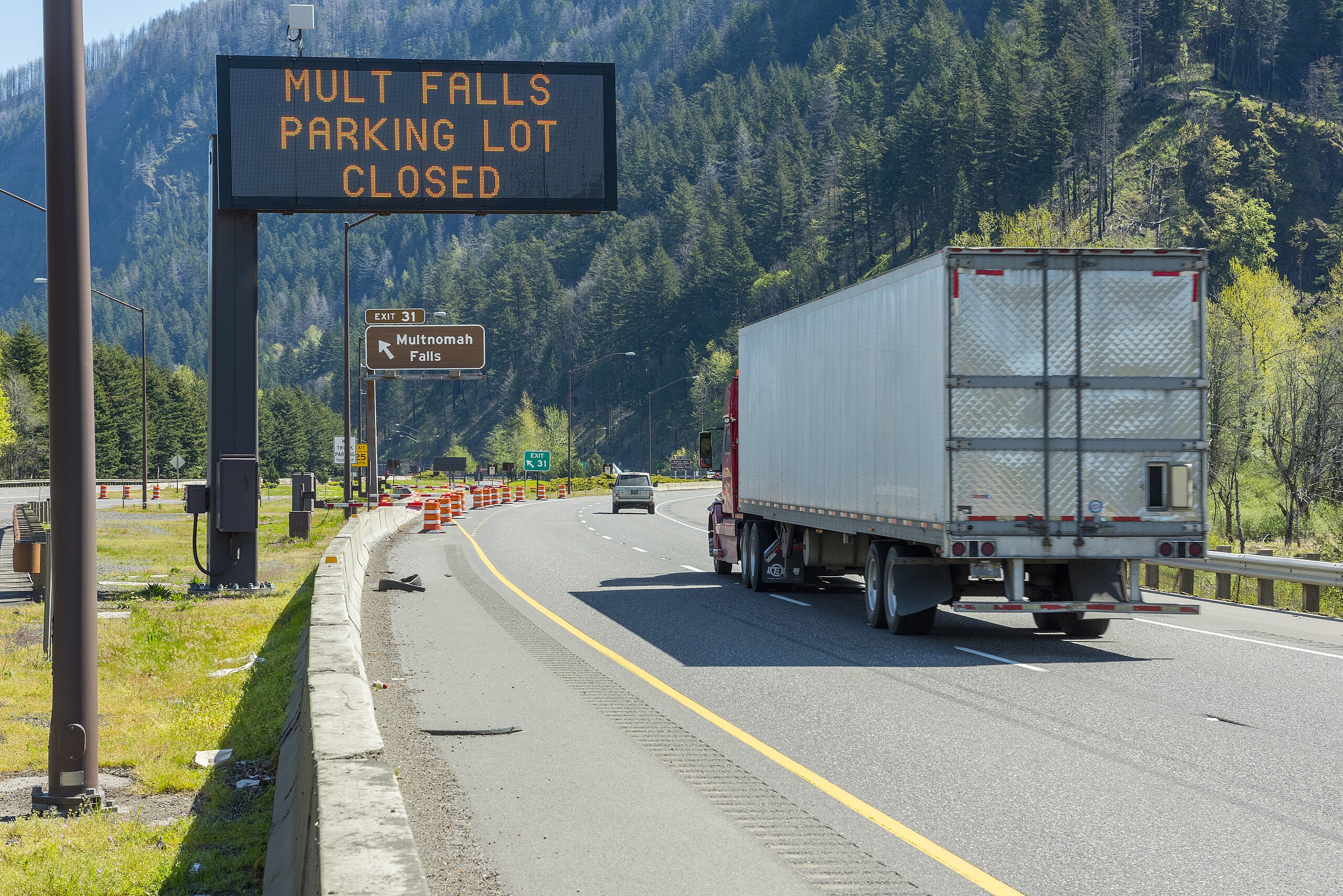
English: The Historic Columbia River Highway is closed 24/7 between Bridal Veil and Ainsworth State Park and closed between Larch Mountain and Angel's Rest, along with all recreation sites along this stretch of the Columbia River Gorge National Scenic Area, known as the “Waterfall Corridor.”
The Historic Columbia River Highway State Trail is also closed. |
| Date | |
| Source | https://www.flickr.com/photos/28364885@N02/49786421532/ |
| Author | OregonDOT |
Licensing[edit]
This file is licensed under the Creative Commons Attribution 2.0 Generic license.
- You are free:
- to share – to copy, distribute and transmit the work
- to remix – to adapt the work
- Under the following conditions:
- attribution – You must give appropriate credit, provide a link to the license, and indicate if changes were made. You may do so in any reasonable manner, but not in any way that suggests the licensor endorses you or your use.
| This image was originally posted to Flickr by OregonDOT at https://flickr.com/photos/28364885@N02/49786421532. It was reviewed on 4 May 2020 by FlickreviewR 2 and was confirmed to be licensed under the terms of the cc-by-2.0. |
File history
Click on a date/time to view the file as it appeared at that time.
| Date/Time | Thumbnail | Dimensions | User | Comment | |
|---|---|---|---|---|---|
| current | 14:47, 4 May 2020 | | 7,360 × 4,912 (12.3 MB) | Thesupermat2 (talk | contribs) | Uploaded a work by OregonDOT from https://www.flickr.com/photos/28364885@N02/49786421532/ with UploadWizard |
You cannot overwrite this file.
File usage on Commons
The following page uses this file:
- File:Readerboard Parking lot closed (49786421532).jpg (file redirect)
.jpg&redirect=no)