File:Ratzenstatt and almas 1716 17.jpg
Jump to navigation
Jump to search
Size of this preview: 800 × 505 pixels. Other resolutions: 320 × 202 pixels | 640 × 404 pixels | 1,024 × 646 pixels | 1,486 × 938 pixels.
Original file (1,486 × 938 pixels, file size: 680 KB, MIME type: image/jpeg)
Captions
Captions
Add a one-line explanation of what this file represents
Summary[edit]
| Description |
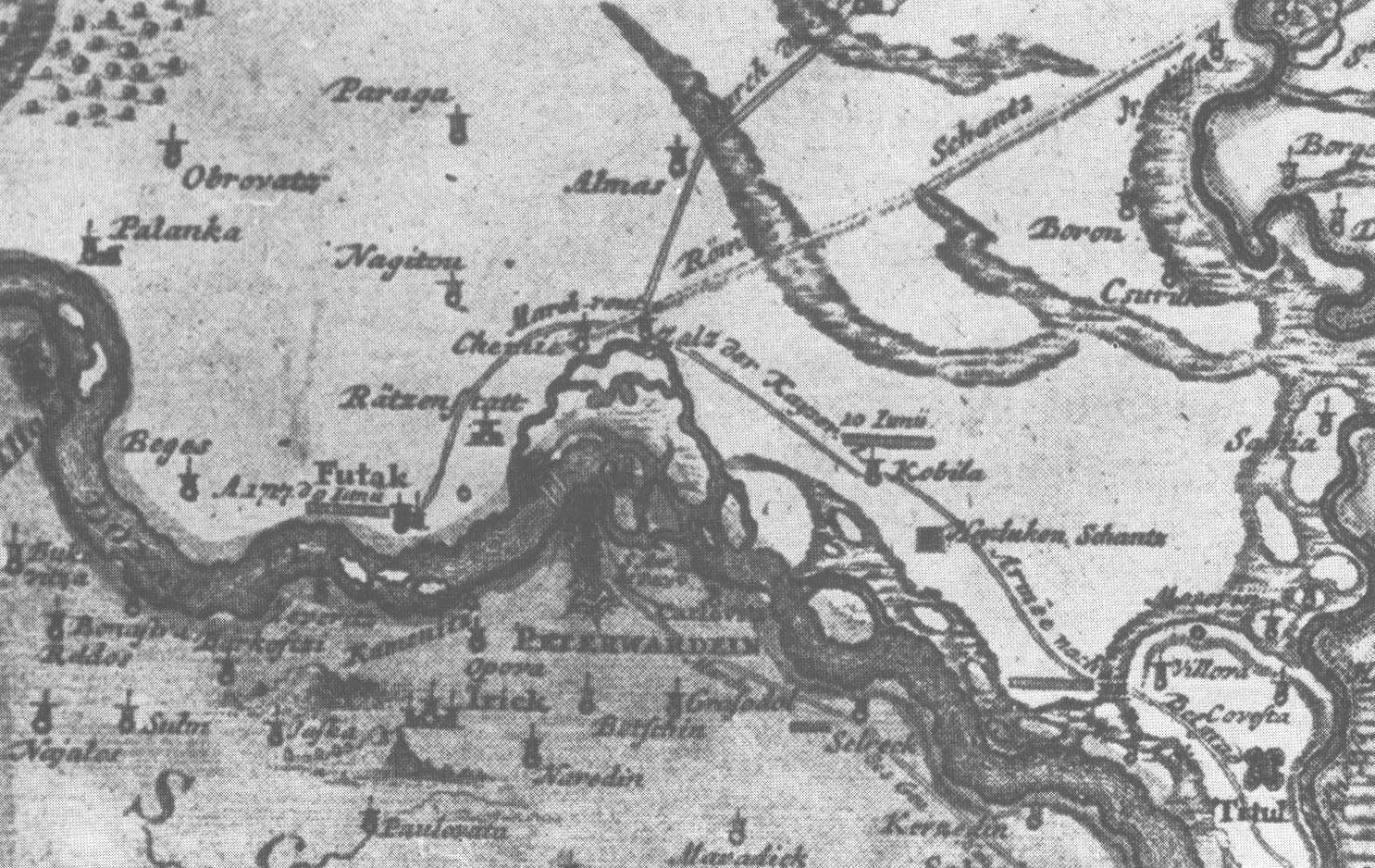
English: Map of Novi Sad (Ratzenstatt) with surroundings (including Almaš village) in 1716-1717. Српски / srpski: Mapa Novog Sada (Racke varoši) sa okolinom (uključujući selo Almaš), 1716-1717. godine. |
| Date | between 1716 and 1717 |
| Source | Novi Sad - monografija, 3 dopunjeno izdanje, Matica srpska, Novi Sad, 1987. |
| Author | Unknown author |
Licensing[edit]
|
This work is in the public domain in its country of origin and other countries and areas where the copyright term is the author's life plus 100 years or fewer. | |
| This file has been identified as being free of known restrictions under copyright law, including all related and neighboring rights. | |
File history
Click on a date/time to view the file as it appeared at that time.
| Date/Time | Thumbnail | Dimensions | User | Comment | |
|---|---|---|---|---|---|
| current | 12:51, 22 September 2010 | | 1,486 × 938 (680 KB) | PANONIAN (talk | contribs) | {{Information |Description={{en|1=Map of Novi Sad (Ratzenstatt) with surroundings (including Almaš village) in 1716-1717.}} |Source=Novi Sad - monografija, 3 dopunjeno izdanje, Matica srpska, Novi Sad, 1987. |Author=unknown |Date=1716-1717 |Permission= | |
You cannot overwrite this file.
File usage on Commons
The following 2 pages use this file:
File usage on other wikis
The following other wikis use this file:
- Usage on sh.wikipedia.org
- Usage on sr.wikipedia.org