File:Rapang Cliff - Itbayat Batanes 1.jpg
Jump to navigation
Jump to search
Size of this preview: 800 × 600 pixels. Other resolutions: 320 × 240 pixels | 640 × 480 pixels | 1,024 × 768 pixels | 1,280 × 960 pixels | 2,560 × 1,920 pixels | 4,128 × 3,096 pixels.
Original file (4,128 × 3,096 pixels, file size: 3.28 MB, MIME type: image/jpeg)
Captions
Captions
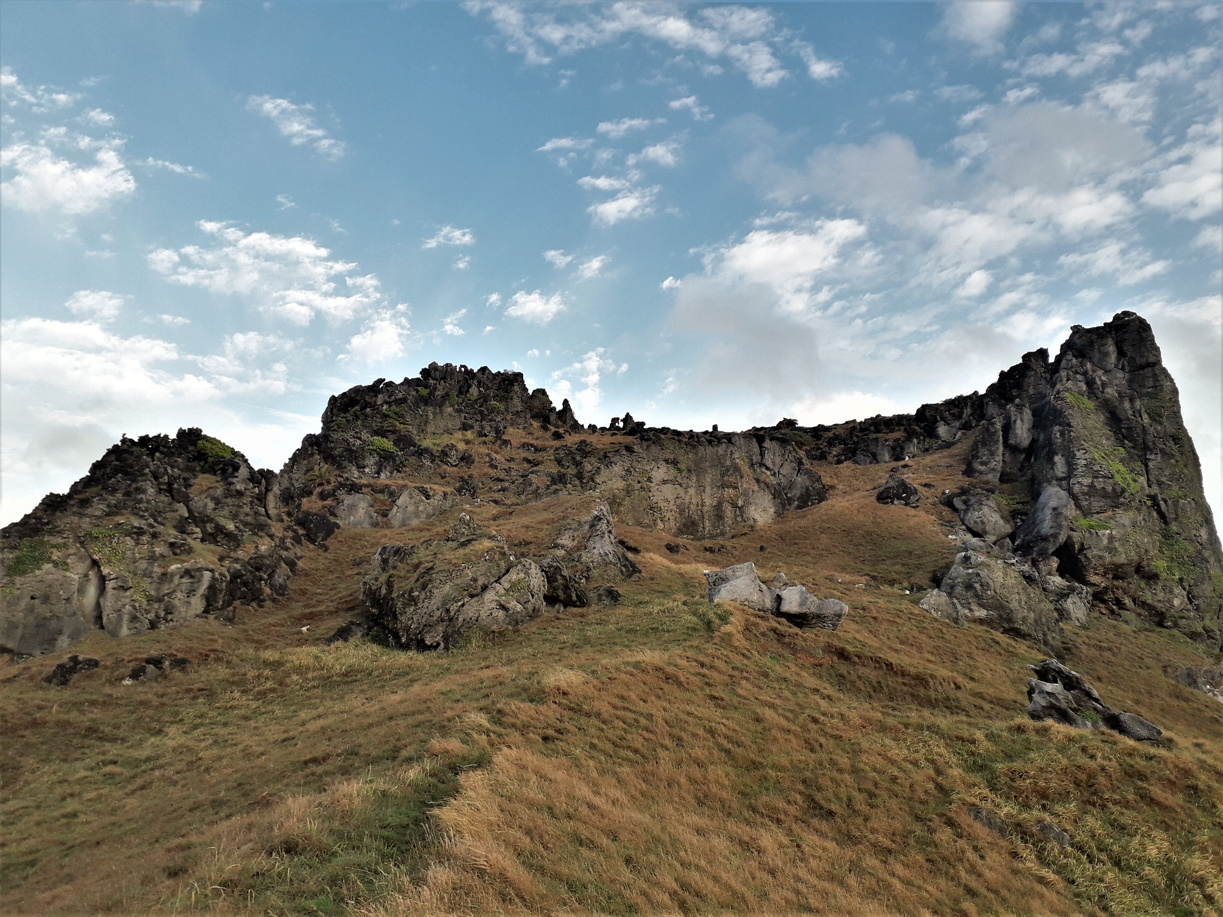
The ascent to the highest point of Rapang Cliff
Summary[edit]
| Description |
English: Rapang Cliff is a limestone rock formation on the island of Itbayat, which is the northernmost municipality in the Philippines. It is on the east coast of the island and faces the Pacific Ocean. Tourists will be treated to breathtaking views, especially during sunrise. |
| Date | |
| Source | Own work |
| Author | Glenn.manalo |
Licensing[edit]
I, the copyright holder of this work, hereby publish it under the following license:
This file is licensed under the Creative Commons Attribution-Share Alike 4.0 International license.
- You are free:
- to share – to copy, distribute and transmit the work
- to remix – to adapt the work
- Under the following conditions:
- attribution – You must give appropriate credit, provide a link to the license, and indicate if changes were made. You may do so in any reasonable manner, but not in any way that suggests the licensor endorses you or your use.
- share alike – If you remix, transform, or build upon the material, you must distribute your contributions under the same or compatible license as the original.
This image was uploaded as part of Wiki Loves Earth 2021.
|
 |
File history
Click on a date/time to view the file as it appeared at that time.
| Date/Time | Thumbnail | Dimensions | User | Comment | |
|---|---|---|---|---|---|
| current | 12:43, 27 June 2021 | | 4,128 × 3,096 (3.28 MB) | Glenn.manalo (talk | contribs) | Uploaded own work with UploadWizard |
You cannot overwrite this file.
File usage on Commons
There are no pages that use this file.