File:Pyrénées-Atlantiques department relief location map.jpg
Jump to navigation
Jump to search

Size of this preview: 800 × 529 pixels. Other resolutions: 320 × 212 pixels | 640 × 423 pixels | 1,045 × 691 pixels.
Original file (1,045 × 691 pixels, file size: 954 KB, MIME type: image/jpeg)
Captions
Captions
Add a one-line explanation of what this file represents
Summary[edit]
| Description |
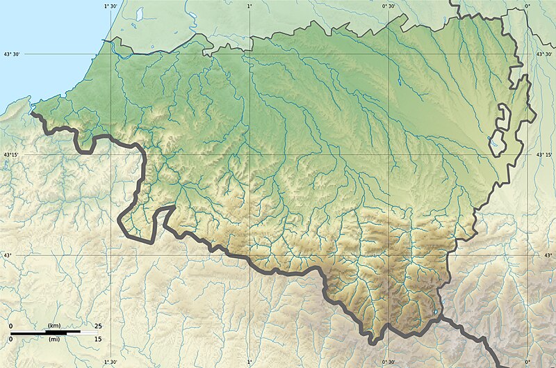
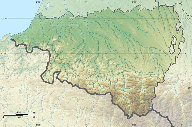
English: Blank physical map of the department of Pyrénées-Atlantiques, France, for geo-location purpose. Français : Carte physique vierge du département du Pyrénées-Atlantiques, France, destinée à la géolocalisation.
|
| Date | 21:27, 25 February 2013 (UTC) |
| Source |
Own work. English: Data sources:
Français : Sources des données :
|
| Author | |
| Other versions |
|
| Attribution (required by the license) | © Hawk-Eye / Wikimedia Commons / |
Licensing[edit]
This file is licensed under the Creative Commons Attribution-Share Alike 3.0 Unported license.
Attribution: © Hawk-Eye
- You are free:
- to share – to copy, distribute and transmit the work
- to remix – to adapt the work
- Under the following conditions:
- attribution – You must give appropriate credit, provide a link to the license, and indicate if changes were made. You may do so in any reasonable manner, but not in any way that suggests the licensor endorses you or your use.
- share alike – If you remix, transform, or build upon the material, you must distribute your contributions under the same or compatible license as the original.
File history
Click on a date/time to view the file as it appeared at that time.
| Date/Time | Thumbnail | Dimensions | User | Comment | |
|---|---|---|---|---|---|
| current | 21:27, 25 February 2013 | | 1,045 × 691 (954 KB) | Hawk-Eye (talk | contribs) | == {{int:filedesc}} == {{Information |Description= {{Multilingual description |en= Blank physical map of the department of Pyrénées-Atlantiques, France, for geo-location purp... |
You cannot overwrite this file.
File usage on Commons
The following 2 pages use this file:
- Location maps of departments of France
- File:Topographique.jpg (file redirect)
File usage on other wikis
The following other wikis use this file:
- Usage on eo.wikipedia.org
- Usage on es.wikipedia.org
- Usage on fr.wikipedia.org
- Pau
- Bayonne
- Bizanos
- Oloron-Sainte-Marie
- Orthez
- Villefranque (Pyrénées-Atlantiques)
- Pardies-Piétat
- La Rhune
- Forêt d'Iraty
- Anglet
- Billère
- Mazères-Lezons
- Nousty
- Lescar
- Poey-de-Lescar
- Saint-Jean-de-Luz
- Nay (Pyrénées-Atlantiques)
- Accous
- Saint-Pierre-d'Irube
- Lagos (Pyrénées-Atlantiques)
- Cambo-les-Bains
- Montaner
- Assat
- Ostabat-Asme
- Morlaàs
- Mauléon-Licharre
- La Bastide-Clairence
- Biriatou
- Bidache
- Guiche
- Saint-Jean-Pied-de-Port
- Hasparren
- Hendaye
- Mourenx
- Navarrenx
- Sare
- Ainhoa
- Arthez-de-Béarn
- Bellocq
- Bielle (Pyrénées-Atlantiques)
View more global usage of this file.