File:Provinces of Sierra Leone.svg
Jump to navigation
Jump to search

Size of this PNG preview of this SVG file: 600 × 600 pixels. Other resolutions: 240 × 240 pixels | 480 × 480 pixels | 768 × 768 pixels | 1,024 × 1,024 pixels | 2,048 × 2,048 pixels | 1,607 × 1,607 pixels.
Original file (SVG file, nominally 1,607 × 1,607 pixels, file size: 327 KB)
Captions
Captions
Add a one-line explanation of what this file represents
| Description |
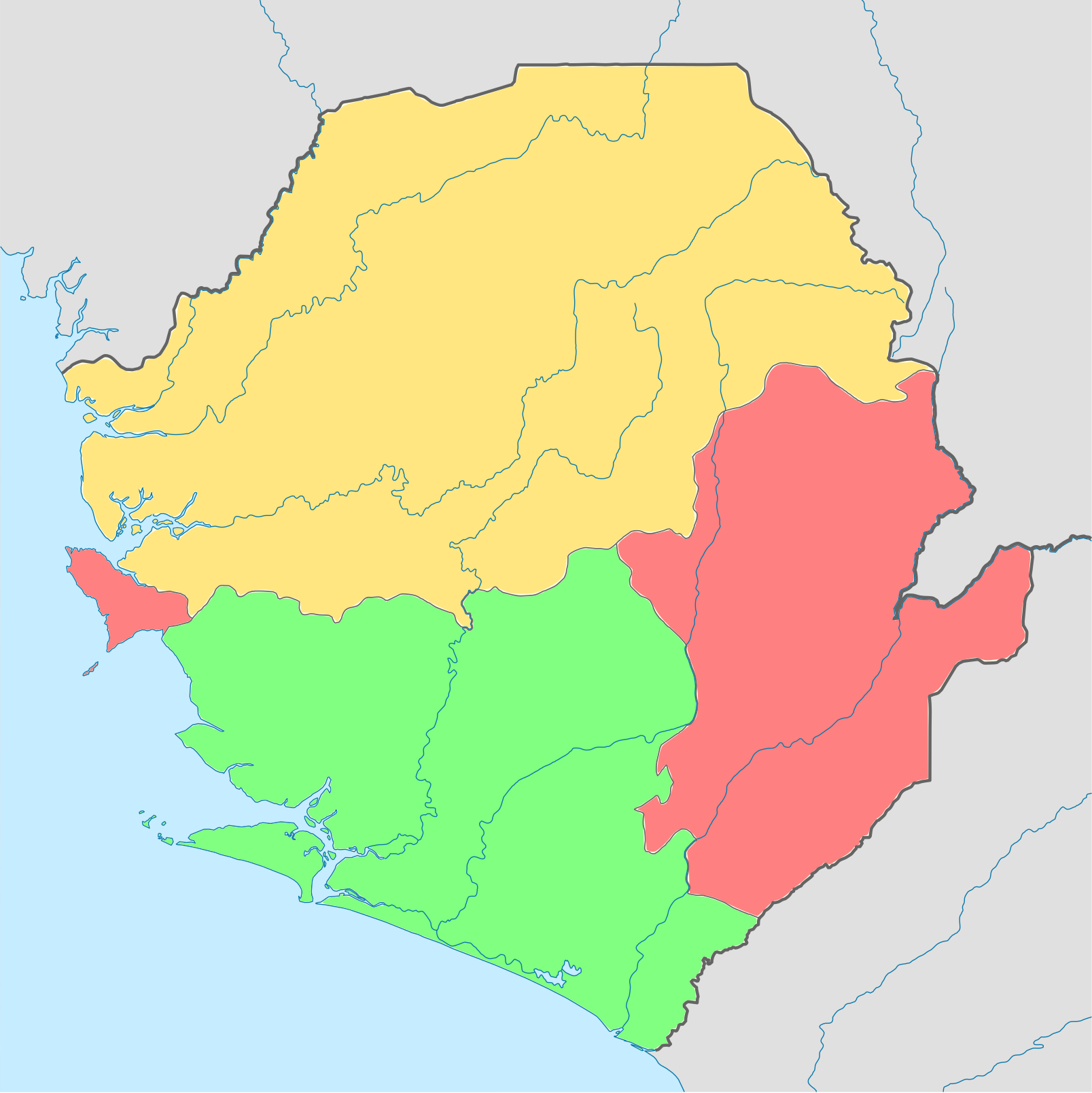
English: Provinces of Sierra Leone. Equirectangular projection. Geographic limits of the map: * N: 10.2° N * S: 6.8° N * W: 13.5° W * E: 10.1° W Русский: Провинции Сьерра-Леоне |
| Date | (UTC) |
| Source | |
| Author |
|
| Other versions | Derivative works of this file: Provinces of Sierra Leone ru.svg |
| This is a retouched picture, which means that it has been digitally altered from its original version. Modifications: Colored regions. The original can be viewed here: Sierra Leone location map.svg:
|
I, the copyright holder of this work, hereby publish it under the following license:

|
Permission is granted to copy, distribute and/or modify this document under the terms of the GNU Free Documentation License, Version 1.2 only as published by the Free Software Foundation; with no Invariant Sections, no Front-Cover Texts, and no Back-Cover Texts. A copy of the license is included in the section entitled GNU Free Documentation License. | 1.2 only |
Original upload log[edit]
This image is a derivative work of the following images:
- File:Sierra_Leone_location_map.svg licensed with GFDL-1.2
- 2008-12-10T19:39:28Z NordNordWest 1607x1607 (250119 Bytes) {{Information |Description= {{de|Positionskarte von [[:de:Sierra Leone|Sierra Leone]]}} Quadratische Plattkarte. Geographische Begrenzung der Karte: * N: 10.2° N * S: 6.8° N * W: 13.5° W * O: 10.1° W {{en|Location map of
Uploaded with derivativeFX
File history
Click on a date/time to view the file as it appeared at that time.
| Date/Time | Thumbnail | Dimensions | User | Comment | |
|---|---|---|---|---|---|
| current | 23:38, 3 November 2009 | | 1,607 × 1,607 (327 KB) | Daryona (talk | contribs) | {{Information |Description={{en|en:Provinces of Sierra Leone. Equirectangular projection. Geographic limits of the map: * N: 10.2° N * S: 6.8° N * W: 13.5° W * E: 10.1° W}} {{ru|Провинции ru:Сьерра-Леоне}} |Source=*[[:F |
You cannot overwrite this file.
File usage on Commons
The following 2 pages use this file: