File:Prefecture map of WesternMacedonia (Greece).svg
Jump to navigation
Jump to search

Size of this PNG preview of this SVG file: 693 × 599 pixels. Other resolutions: 278 × 240 pixels | 555 × 480 pixels | 888 × 768 pixels | 1,184 × 1,024 pixels | 2,369 × 2,048 pixels | 8,460 × 7,315 pixels.
Original file (SVG file, nominally 8,460 × 7,315 pixels, file size: 1.82 MB)
Captions
Captions
Add a one-line explanation of what this file represents
Summary[edit]
.svg&action=edit§ion=1)
| Description |
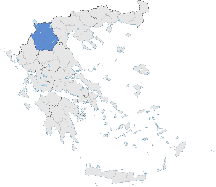
English: The prefecture of Western Macedonia within Greece. |
| Date | |
| Source | Own work |
| Author | SilentResident,Philly boy92 |
Licensing[edit]
.svg&action=edit§ion=2)
I, the copyright holder of this work, hereby publish it under the following license:
This file is licensed under the Creative Commons Attribution-Share Alike 3.0 Unported license.
- You are free:
- to share – to copy, distribute and transmit the work
- to remix – to adapt the work
- Under the following conditions:
- attribution – You must give appropriate credit, provide a link to the license, and indicate if changes were made. You may do so in any reasonable manner, but not in any way that suggests the licensor endorses you or your use.
- share alike – If you remix, transform, or build upon the material, you must distribute your contributions under the same or compatible license as the original.
File history
Click on a date/time to view the file as it appeared at that time.
| Date/Time | Thumbnail | Dimensions | User | Comment | |
|---|---|---|---|---|---|
| current | 18:44, 17 January 2015 | | 8,460 × 7,315 (1.82 MB) | SilentResident (talk | contribs) | The Map has been updated to include some missing territories of Greece; fixed outline and color differences for some Greek islands in the Ionian and Aegean Seas that could confuse the readers. |
| 21:51, 16 January 2015 |  | 7,304 × 7,315 (1.74 MB) | SilentResident (talk | contribs) | {{Information |Description ={{en|1=The prefecture of Western Macedonia within Greece.}} |Source ={{own}} |Author =SilentResident,Philly boy92 |Date =2014-01-16 |Permission =... |
You cannot overwrite this file.
File usage on Commons
There are no pages that use this file.
File usage on other wikis
The following other wikis use this file:
- Usage on el.wikipedia.org
- Περιφέρεια Δυτικής Μακεδονίας
- Νομός Φλώρινας
- Περιφερειακή Ενότητα Καστοριάς
- Δήμος Βελβεντού
- Δήμος Σερβίων
- Πρότυπο:Περιφέρεια Δυτικής Μακεδονίας
- Δήμος Γρεβενών
- Δήμος Δεσκάτης
- Δήμος Κοζάνης
- Δήμος Αμυνταίου
- Δήμος Πρεσπών
- Δήμος Φλώρινας
- Δήμος Νεστορίου
- Δήμος Άργους Ορεστικού
- Δήμος Εορδαίας
- Δήμος Βοΐου
- Δήμος Καστοριάς
- Usage on fr.wikipedia.org
.svg&oldid=484508144)