File:Pomorze Zachodnie mapa.png
Jump to navigation
Jump to search
No higher resolution available.
Pomorze_Zachodnie_mapa.png (501 × 361 pixels, file size: 20 KB, MIME type: image/png)
Captions
Captions
Add a one-line explanation of what this file represents
| Description |
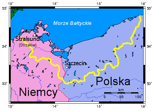
Polski: mapa Pomorza Zachodniego, Deutsch: Landkarte von Pommern |
||||||||
| Date | |||||||||
| Source | own work created in Inkscape, based on w:pl:user:Michał P.'s map | ||||||||
| Author | MesserWoland | ||||||||
| Permission (Reusing this file) |
I, the copyright holder of this work, hereby publish it under the following licenses:
This file is licensed under the Creative Commons Attribution-Share Alike 2.5 Generic, 2.0 Generic and 1.0 Generic license.
You may select the license of your choice. |

File history
Click on a date/time to view the file as it appeared at that time.
| Date/Time | Thumbnail | Dimensions | User | Comment | |
|---|---|---|---|---|---|
| current | 15:39, 22 August 2006 | | 501 × 361 (20 KB) | MesserWoland (talk | contribs) | {{Information |Description={{polish}} mapa Pomorza Zachodniego |Source=own work created in Inkscape, based on w:pl:user:Michał P.'s map |Date=22.08.2006 |Author=MesserWoland |Permission={{self2|GFDL|cc-by-sa-2.5,2.0,1.0}} }} |
You cannot overwrite this file.
File usage on Commons
There are no pages that use this file.
File usage on other wikis
The following other wikis use this file:
- Usage on de.wikivoyage.org
- Usage on dsb.wikipedia.org
- Usage on pl.wikipedia.org