File:Platforms and tracks in Akita Station 20101205.jpg
Jump to navigation
Jump to search

Size of this preview: 800 × 515 pixels. Other resolutions: 320 × 206 pixels | 640 × 412 pixels | 1,024 × 660 pixels | 1,280 × 825 pixels | 2,560 × 1,649 pixels | 4,620 × 2,976 pixels.
Original file (4,620 × 2,976 pixels, file size: 3.21 MB, MIME type: image/jpeg)
Captions
Captions
Add a one-line explanation of what this file represents
Summary[edit]
| Description |
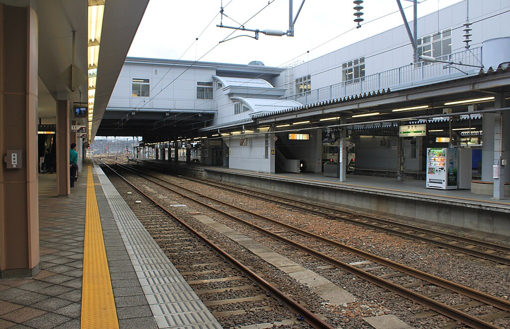
日本語: 秋田駅11番線のりばより |
||
| Date | Taken on 5 December 2010 | ||
| Source | https://web.archive.org/web/20161017103730/http://www.panoramio.com/photo/45197953 | ||
| Author | くろふね | ||
| Permission (Reusing this file) |
This file is licensed under the Creative Commons Attribution 3.0 Unported license. Attribution: くろふね
|
||
| Tags (from Panoramio photo page) | 秋田県, 駅 |
| Camera location | | View this and other nearby images on: OpenStreetMap |
|---|
File history
Click on a date/time to view the file as it appeared at that time.
| Date/Time | Thumbnail | Dimensions | User | Comment | |
|---|---|---|---|---|---|
| current | 12:37, 26 November 2016 | | 4,620 × 2,976 (3.21 MB) | 掬茶 (talk | contribs) | Corrected camera tilt. |
| 02:52, 22 November 2016 |  | 4,752 × 3,168 (5.91 MB) | Panoramio upload bot (talk | contribs) | == {{int:filedesc}} == {{Information |description=秋田駅 |date={{Taken on|2010-12-05}} |source=http://www.panoramio.com/photo/45197953 |author=[http://www.panoramio.com/user/1474640?with_photo_id=45197953 くろふね] |permission={{cc-by-3.0|くろ... |
You cannot overwrite this file.
File usage on Commons
The following 6 pages use this file:
- User:Chumwa/OgreBot/Potential transport maps/2016 November 21-30
- User:Chumwa/OgreBot/Public transport information/2016 November 21-30
- User:Chumwa/OgreBot/Transport Maps/2016 November 21-30
- User:Chumwa/OgreBot/Travel and communication maps/2016 November 21-30
- User:콩가루/일본철도/2016 November
- File:秋田駅 - panoramio (2).jpg (file redirect)
.jpg&redirect=no)