File:Pieniny mapa.png
Jump to navigation
Jump to search
No higher resolution available.
Pieniny_mapa.png (600 × 377 pixels, file size: 247 KB, MIME type: image/png)
Captions
Captions
Add a one-line explanation of what this file represents
| Description |
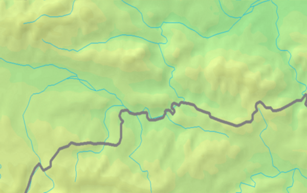
English: Map of Pieniny
Polski: Mapa Pienin |
||||
| Date | |||||
| Source | PD map from Demis | ||||
| Author | Demis | ||||
| Permission (Reusing this file) |
|
File history
Click on a date/time to view the file as it appeared at that time.
| Date/Time | Thumbnail | Dimensions | User | Comment | |
|---|---|---|---|---|---|
| current | 23:42, 15 March 2009 | | 600 × 377 (247 KB) | ToSter (talk | contribs) | cropped and stretched |
| 10:39, 10 March 2009 |  | 824 × 472 (283 KB) | ToSter (talk | contribs) | ciaśniejszy kadr | |
| 10:27, 10 March 2009 |  | 1,003 × 517 (364 KB) | ToSter (talk | contribs) | {{Information |Description={{en|1=Map of Pieniny}} {{pl|1=Mapa Pienin}} |Source=PD map from Demis |Author=Demis |Date=Mar 3rd, 2009 |Permission={{PD-Demis}} |other_versions= }} <!--{{ImageUpload|full}}--> Category:Pieniny [[Category:Maps of Carpathia |
You cannot overwrite this file.
File usage on Commons
There are no pages that use this file.
File usage on other wikis
The following other wikis use this file:
- Usage on pl.wikipedia.org
- Usage on pl.wikibooks.org