File:Pickle Ditch.jpg
Jump to navigation
Jump to search
Size of this preview: 800 × 534 pixels. Other resolutions: 320 × 213 pixels | 640 × 427 pixels | 1,024 × 683 pixels | 1,280 × 854 pixels | 1,600 × 1,067 pixels.
Original file (1,600 × 1,067 pixels, file size: 588 KB, MIME type: image/jpeg)
Captions
Captions
Add a one-line explanation of what this file represents
Summary[edit]
| Description |
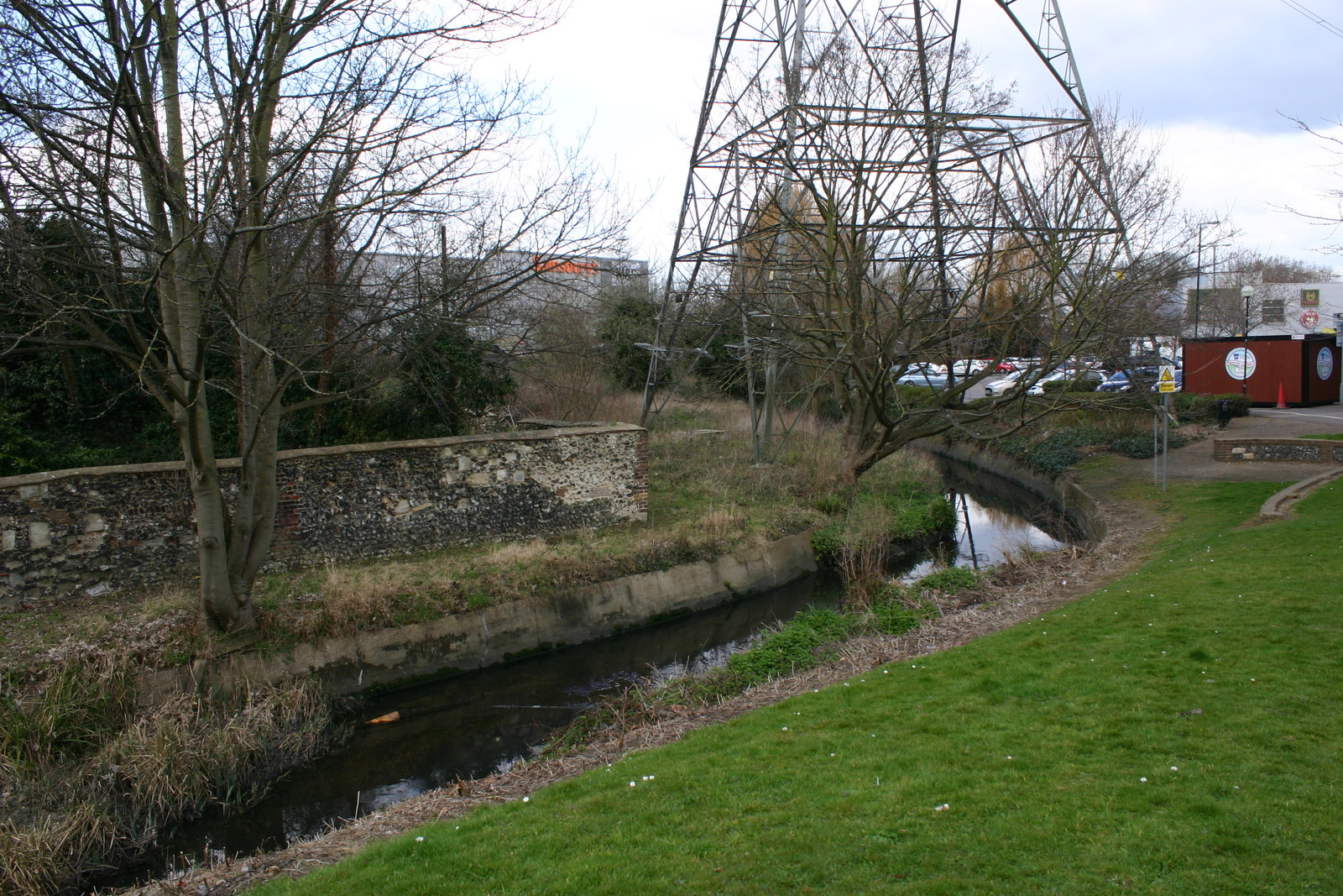
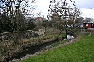
English: Pickle Ditch follows the former course of the diverted River Wandle. |
| Date | |
| Source | geograph.org.uk |
| Author | David Kemp |
| Attribution (required by the license) | David Kemp / Pickle Ditch between Merton High Street & Meruntun Way, Colliers Wood / |
| Camera location | | View this and other nearby images on: OpenStreetMap |
|---|
_heading:292.00&language=en)
| Object location | | View this and other nearby images on: OpenStreetMap |
|---|
_heading:292.00&language=en)
Licensing[edit]

|
This image was taken from the Geograph project collection. See this photograph's page on the Geograph website for the photographer's contact details. The copyright on this image is owned by David Kemp and is licensed for reuse under the Creative Commons Attribution-ShareAlike 2.0 license.
|
This file is licensed under the Creative Commons Attribution-Share Alike 2.0 Generic license.
Attribution: David Kemp
- You are free:
- to share – to copy, distribute and transmit the work
- to remix – to adapt the work
- Under the following conditions:
- attribution – You must give appropriate credit, provide a link to the license, and indicate if changes were made. You may do so in any reasonable manner, but not in any way that suggests the licensor endorses you or your use.
- share alike – If you remix, transform, or build upon the material, you must distribute your contributions under the same or compatible license as the original.
File history
Click on a date/time to view the file as it appeared at that time.
| Date/Time | Thumbnail | Dimensions | User | Comment | |
|---|---|---|---|---|---|
| current | 20:12, 11 January 2023 | | 1,600 × 1,067 (588 KB) | Bjh21 (talk | contribs) | Replaced with the highest-resolution version that Geograph currently has |
| 05:02, 7 January 2023 |  | 1,024 × 683 (265 KB) | LunaEatsTuna (talk | contribs) | Uploaded a work by [https://www.geograph.org.uk/profile/4217 David Kemp] from [https://www.geograph.org.uk/photo/5718258 geograph.org.uk] with UploadWizard |
You cannot overwrite this file.
File usage on Commons
There are no pages that use this file.
File usage on other wikis
The following other wikis use this file:
- Usage on en.wikipedia.org