File:Picardie.svg
Jump to navigation
Jump to search

Size of this PNG preview of this SVG file: 728 × 599 pixels. Other resolutions: 292 × 240 pixels | 583 × 480 pixels | 933 × 768 pixels | 1,244 × 1,024 pixels | 2,488 × 2,048 pixels | 1,658 × 1,365 pixels.
Original file (SVG file, nominally 1,658 × 1,365 pixels, file size: 45 KB)
Captions
Captions
Add a one-line explanation of what this file represents
Summary[edit]
| Description |
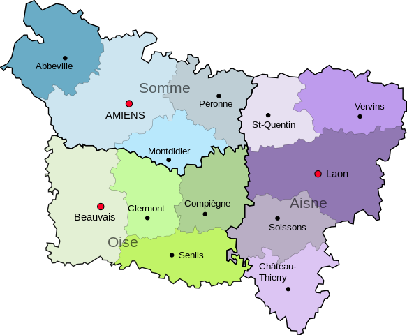
English: Map of Picardie, in France
Español: Mapa de Picardie, en Francia |
| Source | Own work |
| Author | Jome |
| Other versions |
 |
Licensing[edit]
| I, the copyright holder of this work, release this work into the public domain. This applies worldwide. In some countries this may not be legally possible; if so: I grant anyone the right to use this work for any purpose, without any conditions, unless such conditions are required by law. |
File history
Click on a date/time to view the file as it appeared at that time.
| Date/Time | Thumbnail | Dimensions | User | Comment | |
|---|---|---|---|---|---|
| current | 20:13, 28 June 2011 | | 1,658 × 1,365 (45 KB) | Malus Catulus (talk | contribs) | Amelioration des fonts |
| 21:27, 1 July 2010 |  | 1,658 × 1,365 (45 KB) | DieBucheBot (talk | contribs) | Trying to fix SVG using scour | |
| 17:54, 30 May 2010 |  | 1,658 × 1,365 (64 KB) | Jome (talk | contribs) | Mapa de Francia | |
| 17:53, 30 May 2010 |  | 1,658 × 1,365 (64 KB) | Jome (talk | contribs) | {{Information |Description={{en|1=Map of Picardie, in France}} {{es|1=Mapa de Picardie, en Francia}} |Source={{own}} |Author=Jome |Date= |Permission= |other_versions= }} Category:Maps Category:France |
You cannot overwrite this file.
File usage on Commons
The following page uses this file:
File usage on other wikis
The following other wikis use this file:
- Usage on de.wikipedia.org
- Usage on ja.wikipedia.org
- Usage on zh.wikipedia.org