File:PetersonFarm.JPG
Jump to navigation
Jump to search
Size of this preview: 800 × 450 pixels. Other resolutions: 320 × 180 pixels | 640 × 360 pixels | 1,024 × 576 pixels | 1,280 × 720 pixels | 3,346 × 1,882 pixels.
Original file (3,346 × 1,882 pixels, file size: 3.14 MB, MIME type: image/jpeg)
Captions
Captions
Add a one-line explanation of what this file represents
|
This is an image of a place or building that is listed on the National Register of Historic Places in the United States of America. Its reference number is 326. |
| Description |
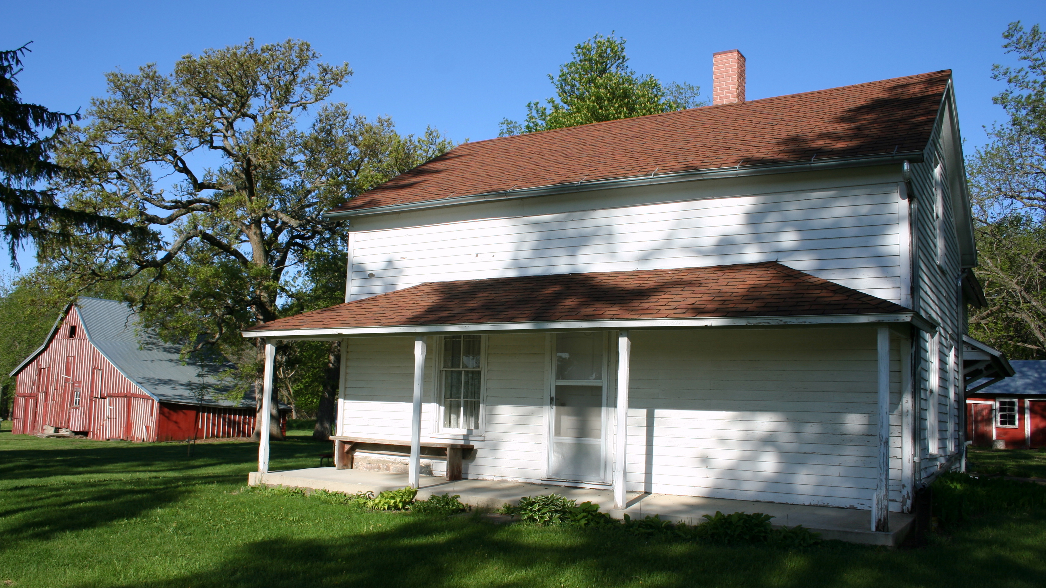
English: Barn, house, and blacksmith shop (right) at the Peterson Point Historic Farmstead in Emmet County, Iowa. The farmstead is listed as a historic district on the National Register of Historic Places. |
||
| Date | |||
| Source | Own work | ||
| Author | Jonathunder | ||
| Permission (Reusing this file) |
I, the copyright holder of this work, hereby publish it under the following licenses: This file is licensed under the Creative Commons Attribution-Share Alike 3.0 Unported license.
You may select the license of your choice. |

| Camera location | | View this and other nearby images on: OpenStreetMap |
|---|
File history
Click on a date/time to view the file as it appeared at that time.
| Date/Time | Thumbnail | Dimensions | User | Comment | |
|---|---|---|---|---|---|
| current | 05:16, 28 May 2009 | | 3,346 × 1,882 (3.14 MB) | Jonathunder (talk | contribs) | {{Information |Description={{en|1=Barn, house, and blacksmith shop (right) at the Peterson Point Historic Farmstead in Emmet County, Iowa.}} |Source=Own work by uploader |Author=Jonathunder |Date= |Permission= |other_versions= }} <!- |
You cannot overwrite this file.
File usage on Commons
There are no pages that use this file.
File usage on other wikis
The following other wikis use this file:
- Usage on de.wikipedia.org
- Usage on en.wikipedia.org
- Usage on es.wikipedia.org
- Usage on www.wikidata.org