File:Pakistan - Sindh - Thatta district.svg
Jump to navigation
Jump to search

Size of this PNG preview of this SVG file: 512 × 426 pixels. Other resolutions: 289 × 240 pixels | 577 × 480 pixels | 923 × 768 pixels | 1,231 × 1,024 pixels | 2,462 × 2,048 pixels.
Original file (SVG file, nominally 512 × 426 pixels, file size: 579 KB)
Captions
Captions
Add a one-line explanation of what this file represents
Summary[edit]
| Description |
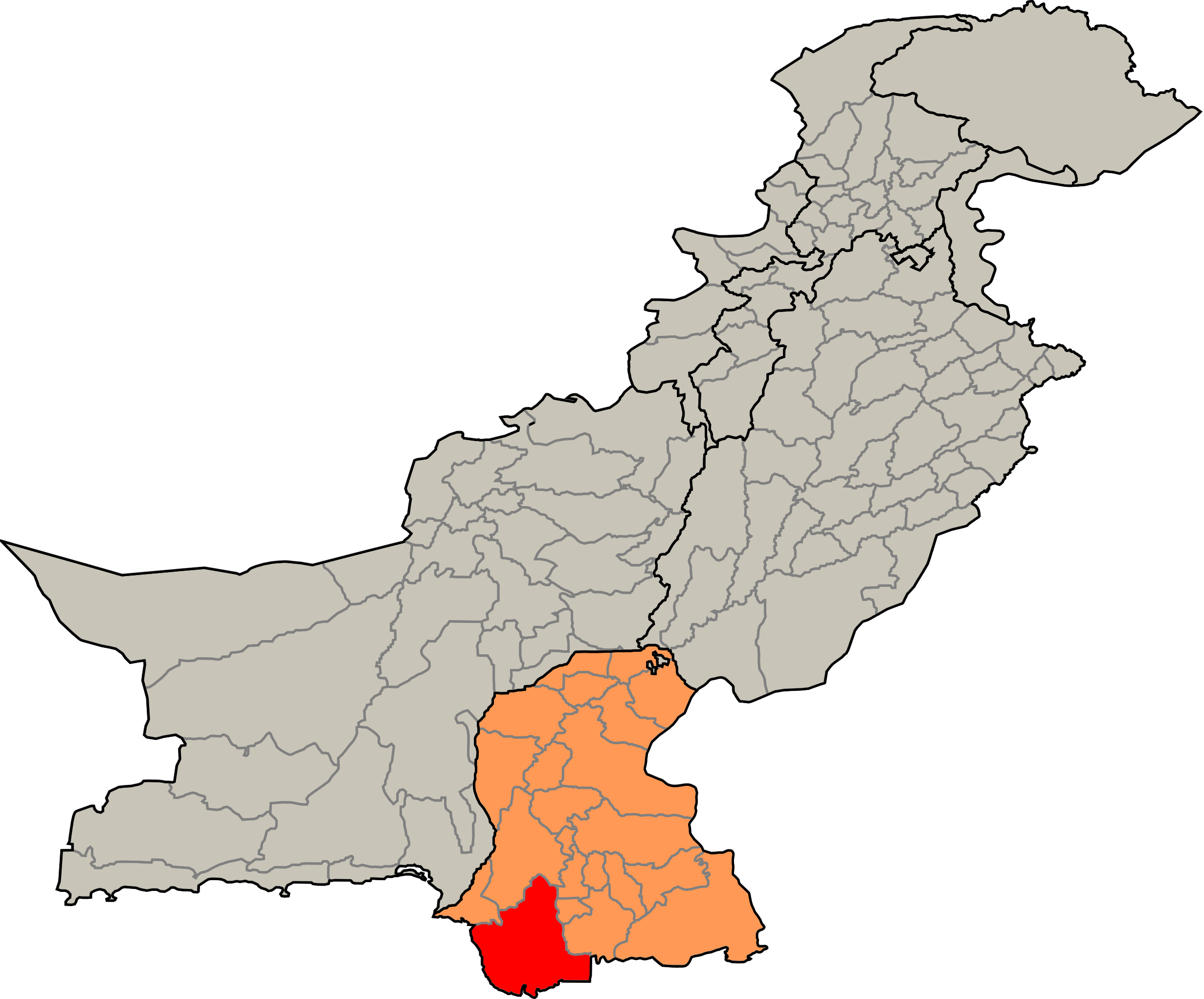
English: Pakistan district: Pakistan - Sindh - Thatta district (borders before 2013) |
| Source | based on Image:Pakistan tehsils.svg from user Rarelibra |
| Author | Michiel1972 |
Licensing[edit]
| I, the copyright holder of this work, release this work into the public domain. This applies worldwide. In some countries this may not be legally possible; if so: I grant anyone the right to use this work for any purpose, without any conditions, unless such conditions are required by law. |
File history
Click on a date/time to view the file as it appeared at that time.
| Date/Time | Thumbnail | Dimensions | User | Comment | |
|---|---|---|---|---|---|
| current | 19:05, 28 December 2007 | | 512 × 426 (579 KB) | Michiel1972 (talk | contribs) | == Summary == {{Information |Description=Pakistan district: {{subst:PAGENAME}} |Source=based on Image:Pakistan tehsils.svg from user Rarelibra |Date= |Author= Michiel1972 |Permission= |other_versions= }} [[category:Maps of distri |
You cannot overwrite this file.
File usage on Commons
There are no pages that use this file.