File:Painesville building demolition.jpg
Jump to navigation
Jump to search

Size of this preview: 800 × 532 pixels. Other resolutions: 320 × 213 pixels | 640 × 426 pixels | 1,024 × 681 pixels | 1,280 × 851 pixels | 2,560 × 1,702 pixels | 6,016 × 4,000 pixels.
Original file (6,016 × 4,000 pixels, file size: 6.34 MB, MIME type: image/jpeg)
Captions
Captions
Add a one-line explanation of what this file represents
| Camera location | | View this and other nearby images on: OpenStreetMap |
|---|
| Description |
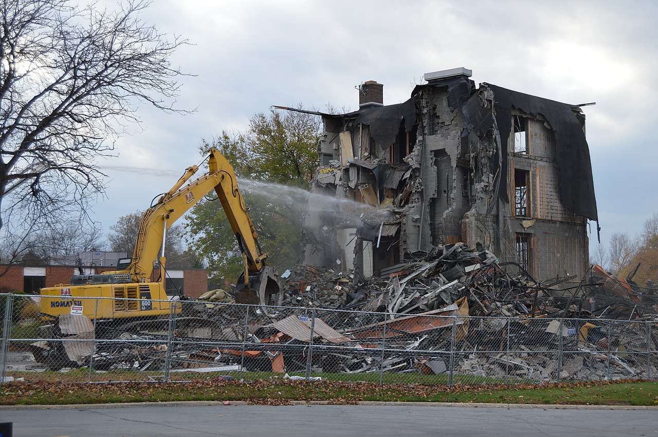
English: Demolition of a building on the northern side of E. Erie Street (U.S. Route 20) adjacent to the Burger King in downtown Painesville, Ohio, United States. The water stream originates from a fire engine just out of view to the left. |
||
| Date | Taken on 11 November 2014 | ||
| Source | Own work | ||
| Author | Nyttend | ||
| Permission (Reusing this file) |
|
File history
Click on a date/time to view the file as it appeared at that time.
| Date/Time | Thumbnail | Dimensions | User | Comment | |
|---|---|---|---|---|---|
| current | 15:03, 16 November 2014 | | 6,016 × 4,000 (6.34 MB) | Nyttend (talk | contribs) | {{Location|41|43|39|N|81|14|43|W}} {{Information |Description={{en|Demolition of a building on the northern side of E. Erie Street ({{w|U.S. Route 20}}) adjacent to the Burger King in downtown {{w|Painesville, Ohio|Painesville}}, {{w|Ohio}}, {{w|United... |
You cannot overwrite this file.
File usage on Commons
There are no pages that use this file.
File usage on other wikis
The following other wikis use this file:
- Usage on en.wikipedia.org