File:PA 61 Centralia and Byrnesville.jpg
Jump to navigation
Jump to search
Size of this preview: 750 × 600 pixels. Other resolutions: 300 × 240 pixels | 600 × 480 pixels | 1,000 × 800 pixels.
Original file (1,000 × 800 pixels, file size: 175 KB, MIME type: image/jpeg)
Captions
Captions
Add a one-line explanation of what this file represents
Summary[edit]
| Description |
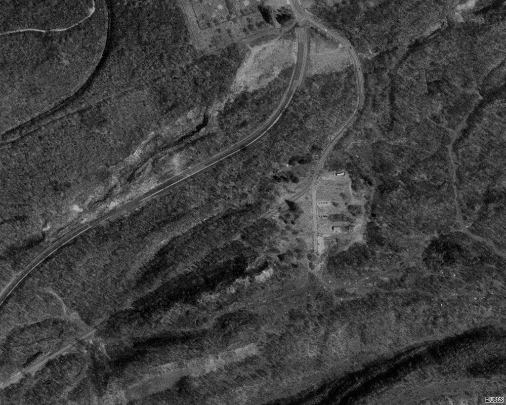
English: Aerial image showing the old and new alignments of Pennsylvania Route 61 near Centralia, and the clearing that was once Byrnesville. |
| Date | |
| Source | USGS The National Map, via MSR Maps (formerly TerraServer-USA) |
| Author | United States Geological Survey (USGS) |
| Permission (Reusing this file) |
Public domain |
Licensing[edit]
This image is in the public domain in the United States because it only contains materials that originally came from the United States Geological Survey, an agency of the United States Department of the Interior. For more information, see the official USGS copyright policy.
|
File history
Click on a date/time to view the file as it appeared at that time.
| Date/Time | Thumbnail | Dimensions | User | Comment | |
|---|---|---|---|---|---|
| current | 17:08, 22 February 2007 | | 1,000 × 800 (175 KB) | LastUserNameEver~commonswiki (talk | contribs) | A view showing the old and new alignments of en:Pennsylvania Route 61 near en:Centralia, Pennsylvania, and a good picture of the clearing that was once en:Byrnesville, Pennsylvania. This is a USGS aerial photo, so it is in the public domain |
You cannot overwrite this file.
File usage on Commons
There are no pages that use this file.
File usage on other wikis
The following other wikis use this file:
- Usage on en.wikipedia.org
- Usage on fr.wikipedia.org
- Usage on vi.wikipedia.org