File:Oxford map small.svg
Jump to navigation
Jump to search

Size of this PNG preview of this SVG file: 360 × 370 pixels. Other resolutions: 233 × 240 pixels | 467 × 480 pixels | 747 × 768 pixels | 996 × 1,024 pixels | 1,993 × 2,048 pixels.
Original file (SVG file, nominally 360 × 370 pixels, file size: 204 KB)
Captions
Captions
Add a one-line explanation of what this file represents
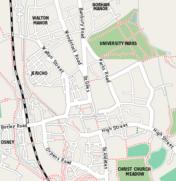
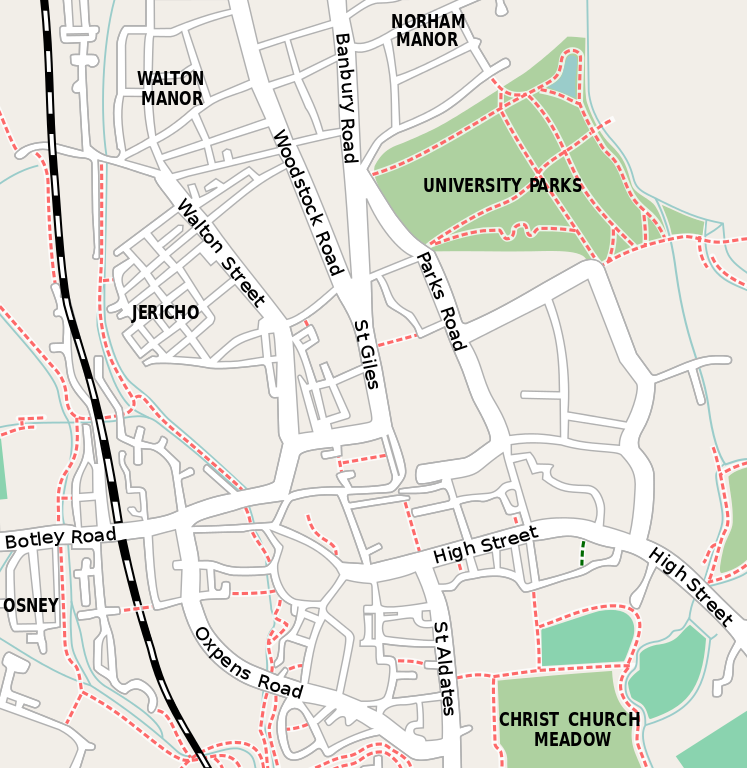
English: Small map of central Oxford, England. Original raster version was created from OpenStreetMap project data, collected by the community.
- Created by Willtron
This file is licensed under the Creative Commons Attribution-Share Alike 2.0 Generic license.
- You are free:
- to share – to copy, distribute and transmit the work
- to remix – to adapt the work
- Under the following conditions:
- attribution – You must give appropriate credit, provide a link to the license, and indicate if changes were made. You may do so in any reasonable manner, but not in any way that suggests the licensor endorses you or your use.
- share alike – If you remix, transform, or build upon the material, you must distribute your contributions under the same or compatible license as the original.
This W3C-unspecified vector image was created with Inkscape .
File history
Click on a date/time to view the file as it appeared at that time.
| Date/Time | Thumbnail | Dimensions | User | Comment | |
|---|---|---|---|---|---|
| current | 17:01, 5 March 2008 | | 360 × 370 (204 KB) | Willtron (talk | contribs) | {{en|Small map of central Oxford. Original raster version was created from OpenStreetMap project data, collected by the community.}} *Created by Willtron {{CC-BY-SA 2.0}} {{Inkscape}} Category:Oxford [[Category:Maps of cities i |
| 17:37, 25 November 2007 |  | 360 × 370 (201 KB) | Willtron (talk | contribs) | {{en|Oxford map small}} {{Willtroncreated}} {{Inkscape}} Category:Oxford Category:Maps of cities in the United Kingdom |
You cannot overwrite this file.
File usage on Commons
The following 2 pages use this file:
File usage on other wikis
The following other wikis use this file:
- Usage on ar.wikipedia.org
- Usage on arz.wikipedia.org
- Usage on bn.wikipedia.org
- Usage on ceb.wikipedia.org
- Usage on de.wikipedia.org
- Usage on en.wikipedia.org
- University of Oxford
- Somerville College, Oxford
- Sheldonian Theatre
- Clarendon Building
- Radcliffe Camera
- Magdalen College, Oxford
- All Souls College, Oxford
- Balliol College, Oxford
- Blackfriars, Oxford
- Brasenose College, Oxford
- Campion Hall, Oxford
- Christ Church, Oxford
- Corpus Christi College, Oxford
- Exeter College, Oxford
- Hertford College, Oxford
- Jesus College, Oxford
- Keble College, Oxford
- Lady Margaret Hall, Oxford
- Linacre College, Oxford
- Mansfield College, Oxford
- Merton College, Oxford
- Lincoln College, Oxford
- New College, Oxford
- Nuffield College, Oxford
- Oriel College, Oxford
- Pembroke College, Oxford
- Pusey House, Oxford
- The Queen's College, Oxford
- Regent's Park College, Oxford
- St Anne's College, Oxford
- St Antony's College, Oxford
- St Benet's Hall, Oxford
- St Edmund Hall, Oxford
- St Catherine's College, Oxford
- St Cross College, Oxford
- St Hilda's College, Oxford
- St Hugh's College, Oxford
- St John's College, Oxford
- St Peter's College, Oxford
- Trinity College, Oxford
- University College, Oxford
- Wadham College, Oxford
View more global usage of this file.