File:Ohio archæological and historical quarterly (1887) (14769749331).jpg

From Wikimedia Commons, the free media repository
Jump to navigation Jump to search

Original file(2,592 × 1,792 pixels, file size: 979 KB, MIME type: image/jpeg)

Captions

Captions

Add a one-line explanation of what this file represents

Summary[edit]

Description
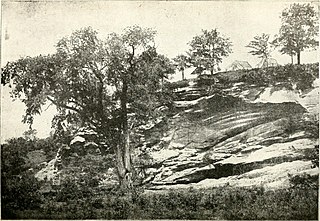
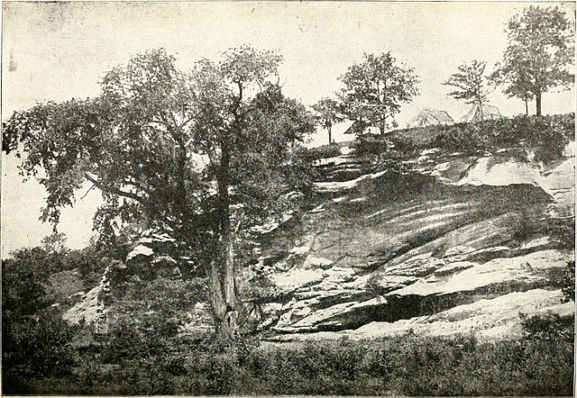
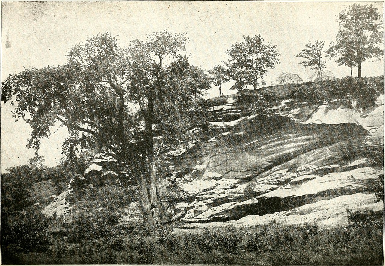
English:

Identifier: ohioarchologic21ohio (find matches)
Title: Ohio archæological and historical quarterly
Year: 1887 (1880s)
Authors: Ohio State Archaeological and Historical Society
Subjects: History Archaeology
Publisher: Columbus : Published for the Society by A.H. Smythe
Contributing Library: Allen County Public Library Genealogy Center
Digitizing Sponsor: Allen County Public Library Genealogy Center

View Book Page: Book Viewer
About This Book: Catalog Entry
View All Images: All Images From Book
Click here to view book online to see this illustration in context in a browseable online version of this book.

Text Appearing Before Image:
back or inwagons across the mountains, causing the supply to be very oftenscanty and the price always very high. However, the early set-tlers found that Jackson county was a favorable hunting groundwith the Indian, and perhaps through them the salt springs werelocated, and naturally the manufacture of salt from the brineswould follow. The exact date of the discovery of the salt springs by thewhites is unknown, but it was probably early in the eighteenthcentury by the French Canadian fur traders through their barterwith the indians. The Virginia colonists did not attempt tomake use of the salt springs until the close of the eighteenth cen-tury (1798), although they were familiar with their location andexistence about the middle of the century. The John Mitchell map of the British and French Dominionsin North America, 1755, has a note of the salt licks and saltcreeks furnishing salt for the inland country. Salt Creek is also.marked upon this map. The saline water of this region was very
Text Appearing After Image:
(177) 178 Archaeological Remains of Jackson County. weak and it would often require ten to fifteen gallons of thewater to make one pound of salt. The salt was distributed tothe settlements by pack horses. So important was this sourceof supply to the inhabitants that, when Ohio was formed intoa state, a tract of land six miles square, embracing the salinewaters, was set apart by Congress for the use of the state. In1804 an act was passed by the Legislature of Ohio regulating themanagement of this tract and appointing an agent to rent smalllots on the borders of the creek for the manufacture of salt.Salt for the most part was made by evaporating the saline water,and this was done by constructing salt furnaces made by sur-rounding large iron kettles, of 30 to 40 gallons capacity, withstonework having a furnace beneath. But the large iron kettleswere difficult to secure at this remote manufacturing site in thewilderness, and the slower process of evaporation by naturalmeans was used durin

Note About Images

Please note that these images are extracted from scanned page images that may have been digitally enhanced for readability - coloration and appearance of these illustrations may not perfectly resemble the original work.
Date
Source https://www.flickr.com/photos/internetarchivebookimages/14769749331/
Author Internet Archive Book Images
Permission
(Reusing this file)
At the time of upload, the image license was automatically confirmed using the Flickr API. For more information see Flickr API detail.
Volume
InfoField
21
Flickr tags
InfoField
  • bookid:ohioarchologic21ohio
  • bookyear:1887
  • bookdecade:1880
  • bookcentury:1800
  • bookauthor:Ohio_State_Archaeological_and_Historical_Society
  • booksubject:History
  • booksubject:Archaeology
  • bookpublisher:Columbus___Published_for_the_Society_by_A_H__Smythe
  • bookcontributor:Allen_County_Public_Library_Genealogy_Center
  • booksponsor:Allen_County_Public_Library_Genealogy_Center
  • bookleafnumber:188
  • bookcollection:allen_county
  • bookcollection:americana
Flickr posted date
InfoField
29 July 2014

Licensing[edit]

This image was taken from Flickr's The Commons. The uploading organization may have various reasons for determining that no known copyright restrictions exist, such as:
  1. The copyright is in the public domain because it has expired;
  2. The copyright was injected into the public domain for other reasons, such as failure to adhere to required formalities or conditions;
  3. The institution owns the copyright but is not interested in exercising control; or
  4. The institution has legal rights sufficient to authorize others to use the work without restrictions.

More information can be found at https://flickr.com/commons/usage/.


Please add additional copyright tags to this image if more specific information about copyright status can be determined. See Commons:Licensing for more information.
This image was originally posted to Flickr by Internet Archive Book Images at https://flickr.com/photos/126377022@N07/14769749331. It was reviewed on 26 July 2015 by FlickreviewR and was confirmed to be licensed under the terms of the No known copyright restrictions.

26 July 2015

File history

Click on a date/time to view the file as it appeared at that time.

Date/TimeThumbnailDimensionsUserComment
current18:01, 12 June 2016Thumbnail for version as of 18:01, 12 June 20162,592 × 1,792 (979 KB)SteinsplitterBot (talk | contribs)Bot: Image rotated by 270°
04:07, 26 July 2015Thumbnail for version as of 04:07, 26 July 20151,792 × 2,592 (982 KB) (talk | contribs)== {{int:filedesc}} == {{subst:chc}} {{information |description={{en|1=<br> '''Identifier''': ohioarchologic21ohio ([https://commons.wikimedia.org/w/index.php?title=Special%3ASearch&profile=default&fulltext=Search&search=insource%3A%2Fohioarchologic21o...

There are no pages that use this file.