File:Oh districts map.PNG
Jump to navigation
Jump to search
Size of this preview: 713 × 600 pixels. Other resolutions: 285 × 240 pixels | 571 × 480 pixels | 913 × 768 pixels | 1,217 × 1,024 pixels | 2,457 × 2,067 pixels.
Original file (2,457 × 2,067 pixels, file size: 205 KB, MIME type: image/png)
Captions
Captions
Add a one-line explanation of what this file represents
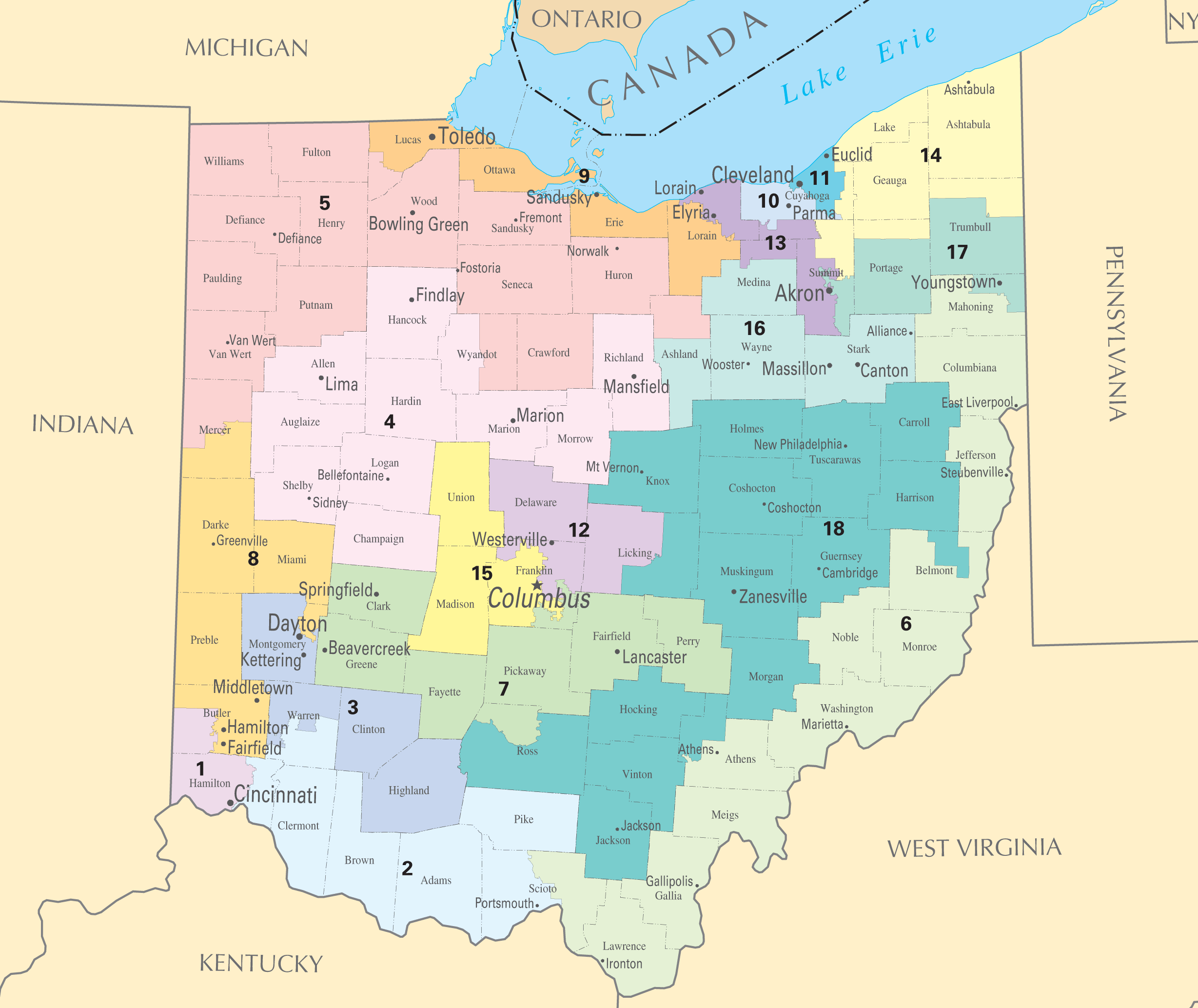
| Description | Ohio districts map | |||
| Source | National Atlas of the United States | |||
| Author | National Atlas of the United States | |||
| Permission (Reusing this file) |
|
File history
Click on a date/time to view the file as it appeared at that time.
| Date/Time | Thumbnail | Dimensions | User | Comment | |
|---|---|---|---|---|---|
| current | 16:14, 2 January 2010 | | 2,457 × 2,067 (205 KB) | Shell Kinney (talk | contribs) | remove borders, higher resolution |
| 17:11, 1 March 2006 |  | 588 × 450 (42 KB) | Quadell (talk | contribs) | {{PD-USGov-Atlas}} Category:Maps of Ohio Category:United States congressional district maps |
You cannot overwrite this file.
File usage on Commons
There are no pages that use this file.
File usage on other wikis
The following other wikis use this file:
- Usage on ja.wikipedia.org