File:Occidentalesygrancanaria.png
Jump to navigation
Jump to search
No higher resolution available.
Occidentalesygrancanaria.png (800 × 336 pixels, file size: 9 KB, MIME type: image/png)
Captions
Captions
Add a one-line explanation of what this file represents
Summary[edit]
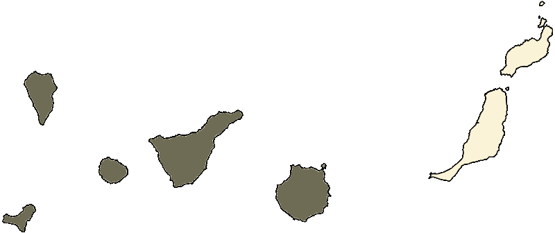
| Description | Mapa de Canarias resaltando las islas occidentales y Gran Canaria |
| Date | |
| Source | Image:Mapa Canarias.svg |
| Author | Pedro Suárez |
Licensing[edit]
I, Xsm34, the copyright holder of this work, hereby publishes it under the following license:
This file is licensed under the Creative Commons Attribution-Share Alike 2.5 Generic license.
Attribution: I, Xsm34
- You are free:
- to share – to copy, distribute and transmit the work
- to remix – to adapt the work
- Under the following conditions:
- attribution – You must give appropriate credit, provide a link to the license, and indicate if changes were made. You may do so in any reasonable manner, but not in any way that suggests the licensor endorses you or your use.
- share alike – If you remix, transform, or build upon the material, you must distribute your contributions under the same or compatible license as the original.
File history
Click on a date/time to view the file as it appeared at that time.
| Date/Time | Thumbnail | Dimensions | User | Comment | |
|---|---|---|---|---|---|
| current | 23:10, 28 July 2007 | | 800 × 336 (9 KB) | Xsm34~commonswiki (talk | contribs) | {{Information |Description=Mapa de Canarias resaltando las islas occidentales y Gran Canaria |Source=Image:Mapa Canarias.svg |Date=29/07/2007 |Author=Pedro Suárez |Permission= |other_versions= }} Category:Maps of the Canary Islands |
You cannot overwrite this file.
File usage on Commons
The following page uses this file:
File usage on other wikis
The following other wikis use this file:
- Usage on arz.wikipedia.org
- Usage on ca.wikipedia.org
- Usage on cs.wikipedia.org
- Usage on de.wikipedia.org
- Usage on es.wikipedia.org
- Usage on sv.wikipedia.org
- Usage on www.wikidata.org