File:OSM-Ria de Aveiro-Portugal.png
Jump to navigation
Jump to search

Size of this preview: 600 × 600 pixels. Other resolutions: 240 × 240 pixels | 480 × 480 pixels | 768 × 768 pixels | 1,142 × 1,142 pixels.
Original file (1,142 × 1,142 pixels, file size: 833 KB, MIME type: image/png)
Captions
Captions
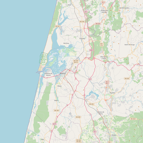
Map of Ria de Aveiro, Portugal
Summary[edit]
| Description | |
| Date | |
| Source | OpenStreetMap |
| Author | OpenStreetMap contributors |
Licensing[edit]
| Description |
This map was created from OpenStreetMap project data, collected by the community. This map may be incomplete, and may contain errors. Don't rely solely on it for navigation. |
| Date | (see file history) |
| Source | openstreetmap.org |
| Creator |
OpenStreetMap contributors |
| Permission (Reusing this file) |
OpenStreetMap data and maps are licensed under the Creative Commons Attribution-ShareAlike 2.0 license (CC-BY-SA 2.0). This file is licensed under the Creative Commons Attribution-Share Alike 2.0 Generic license.
|
| Georeferencing | If inappropriate please set warp_status = skip to hide. |
File history
Click on a date/time to view the file as it appeared at that time.
| Date/Time | Thumbnail | Dimensions | User | Comment | |
|---|---|---|---|---|---|
| current | 12:12, 29 June 2020 | | 1,142 × 1,142 (833 KB) | JonJon86 (talk | contribs) | Uploaded a work by OpenStreetMap contributors from OpenStreetMap with UploadWizard |
You cannot overwrite this file.
File usage on Commons
There are no pages that use this file.