File:OECD-memberstates.png
Jump to navigation
Jump to search

Size of this preview: 800 × 370 pixels. Other resolutions: 320 × 148 pixels | 640 × 296 pixels | 1,357 × 628 pixels.
Original file (1,357 × 628 pixels, file size: 44 KB, MIME type: image/png)
Captions
Captions
Add a one-line explanation of what this file represents
Summary[edit]

|
File:OECD member states map.svg is a vector version of this file. It should be used in place of this PNG file when not inferior.
File:OECD-memberstates.png → File:OECD member states map.svg
For more information, see Help:SVG. |
 |
| Description |
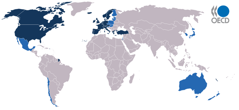
Karte zu den Mitgliedsstaaten der OECD. Map of member states of the OECD. Deutsch: Mitgliedstaaten der OECD
English: OECD member states (as of 2006)
Español: Mapa de los Estados miembros de la OCDE
Suomi: Kartta jäsenmaista
Français : Pays membres de l'OCDE
Italiano: Stati membri dell'OCSE, in blu scuro gli stati fondatori.
Polski: Państwa członkowskie OECD
Português: Os membros da OCDE estão indicados a azul
Türkçe: OECD'ye üye ülkeler |
| Date | |
| Source | Taken from german wikipedia |
| Author | St. Krekeler |
Licensing[edit]
This file is licensed under the Creative Commons Attribution-Share Alike 2.0 Generic license.
- You are free:
- to share – to copy, distribute and transmit the work
- to remix – to adapt the work
- Under the following conditions:
- attribution – You must give appropriate credit, provide a link to the license, and indicate if changes were made. You may do so in any reasonable manner, but not in any way that suggests the licensor endorses you or your use.
- share alike – If you remix, transform, or build upon the material, you must distribute your contributions under the same or compatible license as the original.
File history
Click on a date/time to view the file as it appeared at that time.
| Date/Time | Thumbnail | Dimensions | User | Comment | |
|---|---|---|---|---|---|
| current | 14:13, 23 April 2019 | | 1,357 × 628 (44 KB) | AKS471883 (talk | contribs) | +Slovenia -Colombia |
| 18:49, 30 May 2018 |  | 1,357 × 628 (44 KB) | Scoelho86 (talk | contribs) | +COL +LTU +EST +ISR +LVA | |
| 02:29, 21 June 2010 |  | 1,357 × 628 (28 KB) | Vyznev Xnebara (talk | contribs) | convert from BMP to PNG format | |
| 10:02, 12 January 2010 |  | 1,357 × 628 (2.44 MB) | SpesBona (talk | contribs) | + Chile (http://www.oecd.org/document/26/0,3343,en_2649_34487_44365210_1_1_1_1,00.html) | |
| 00:35, 29 March 2008 |  | 1,357 × 628 (44 KB) | Citynoise (talk | contribs) | added dark blue for original members. | |
| 21:37, 4 June 2007 |  | 1,357 × 628 (35 KB) | MaCRoEco (talk | contribs) | + new logo | |
| 13:40, 11 April 2007 |  | 1,357 × 628 (43 KB) | AlexCovarrubias (talk | contribs) | ||
| 13:10, 4 July 2006 |  | 1,357 × 628 (45 KB) | Satesclop (talk | contribs) | ||
| 12:37, 4 July 2006 |  | 1,357 × 628 (45 KB) | Satesclop (talk | contribs) | ||
| 21:18, 9 August 2005 |  | 1,357 × 628 (25 KB) | Emuzesto (talk | contribs) | Taken from english wikipedia. Original text: Map of member states of OECD Author: St. Krekeler GFDL {{GFDL}} Category:World maps Category:OECD |
You cannot overwrite this file.
File usage on Commons
The following 2 pages use this file:
File usage on other wikis
The following other wikis use this file:
- Usage on diq.wikipedia.org
- Usage on en.wikipedia.org
- Usage on fa.wikipedia.org
- Usage on fo.wikipedia.org
- Usage on nl.wikipedia.org