File:Northern Ireland Map EU.PNG
Jump to navigation
Jump to search

Size of this preview: 800 × 600 pixels. Other resolutions: 320 × 240 pixels | 640 × 480 pixels | 1,024 × 768 pixels | 1,280 × 960 pixels | 1,600 × 1,200 pixels.
Original file (1,600 × 1,200 pixels, file size: 577 KB, MIME type: image/png)
Captions
Captions
Add a one-line explanation of what this file represents
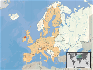
| Description | Northern Ireland location in the EU. | |||
| Date | ||||
| Source | Self-made. Based upon an original work forming part of the "Europe location" map series created by David Liuzzo: Image:EU_location_UK.png | |||
| Author | Rab-k | |||
| Permission (Reusing this file) |
|
|||
| Other versions |
|


File history
Click on a date/time to view the file as it appeared at that time.
| Date/Time | Thumbnail | Dimensions | User | Comment | |
|---|---|---|---|---|---|
| current | 23:05, 6 April 2008 | | 1,600 × 1,200 (577 KB) | Rab-k (talk | contribs) | {{Information |Description= Northern Ireland location in the EU. |Source=Self-made. Based upon an original work forming part of the "Europe location" map series created by David Liuzzo: Image:EU_location_UK.png |Date=04 |
You cannot overwrite this file.
File usage on Commons
There are no pages that use this file.