File:Northeast Africa 1885.jpg
Original file (860 × 779 pixels, file size: 240 KB, MIME type: image/jpeg)
Captions
Captions
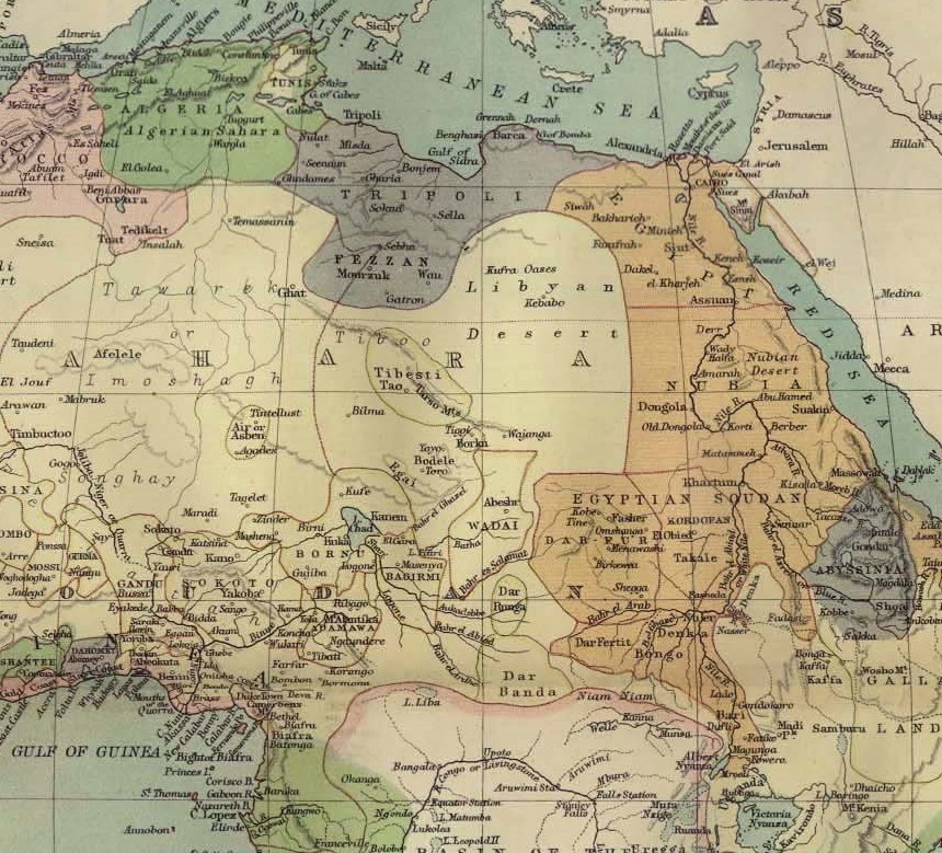
| Description | Northeast Africa in 1885 | ||||
| Source | http://www.lib.utexas.edu/maps/historical/africa_1885.jpg | ||||
| Author | F.R.G.S. John Bartholomew (1831 – 1893) | ||||
| Permission (Reusing this file) |
|
||||
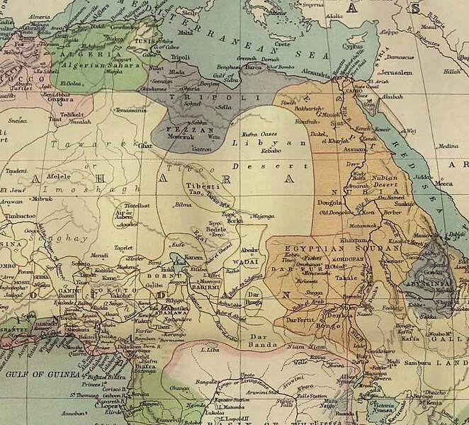
| Other versions |
Derivative works of this file: Mahdi 1885.png  |
||||
File history
Click on a date/time to view the file as it appeared at that time.
| Date/Time | Thumbnail | Dimensions | User | Comment | |
|---|---|---|---|---|---|
| current | 14:27, 29 September 2009 | | 860 × 779 (240 KB) | Zykasaa (talk | contribs) | {{Information |Description=Northeast Africa in 1885 |Source=http://www.lib.utexas.edu/maps/historical/africa_1885.jpg |Date= |Author=Not specified |Permission={{PD-old}} |other_versions= }} |
You cannot overwrite this file.
File usage on Commons
The following 5 pages use this file:
File usage on other wikis
The following other wikis use this file:
- Usage on az.wikipedia.org
- Usage on be.wikipedia.org
- Usage on bg.wikipedia.org
- Usage on cv.wikipedia.org
- Usage on de.wikipedia.org
- Usage on en.wikiversity.org
- Usage on es.wikipedia.org
- Usage on fr.wikipedia.org
- Usage on hy.wikipedia.org
- Usage on kk.wikipedia.org
- Usage on lt.wikipedia.org
- Usage on mt.wikipedia.org
- Usage on ru.wikipedia.org
- Usage on sr.wikipedia.org
- Usage on uk.wikipedia.org
- Usage on zh.wikipedia.org
Metadata
- 1885 maps of Africa
- John George Bartholomew
- Maps of British Egypt (1882-1953)
- 1880s maps of Libya
- 1880s maps of Sudan
- 1880s maps of Tunisia
- Maps of French Algeria
- 19th-century maps of South Sudan
- Old maps of colonial Africa
- 19th-century maps of North Africa
- 19th-century maps of Central Africa
- 19th-century maps of the Nile River