File:North america blank range map.png
Jump to navigation
Jump to search

Size of this preview: 678 × 599 pixels. Other resolutions: 272 × 240 pixels | 543 × 480 pixels | 869 × 768 pixels | 1,158 × 1,024 pixels | 2,253 × 1,992 pixels.
Original file (2,253 × 1,992 pixels, file size: 299 KB, MIME type: image/png)
Captions
Captions
Add a one-line explanation of what this file represents

|
Permission is granted to copy, distribute and/or modify this document under the terms of the GNU Free Documentation License, Version 1.2 or any later version published by the Free Software Foundation; with no Invariant Sections, no Front-Cover Texts, and no Back-Cover Texts. A copy of the license is included in the section entitled GNU Free Documentation License. |
| This file is licensed under the Creative Commons Attribution-Share Alike 3.0 Unported license. | ||
| ||
| This licensing tag was added to this file as part of the GFDL licensing update. |
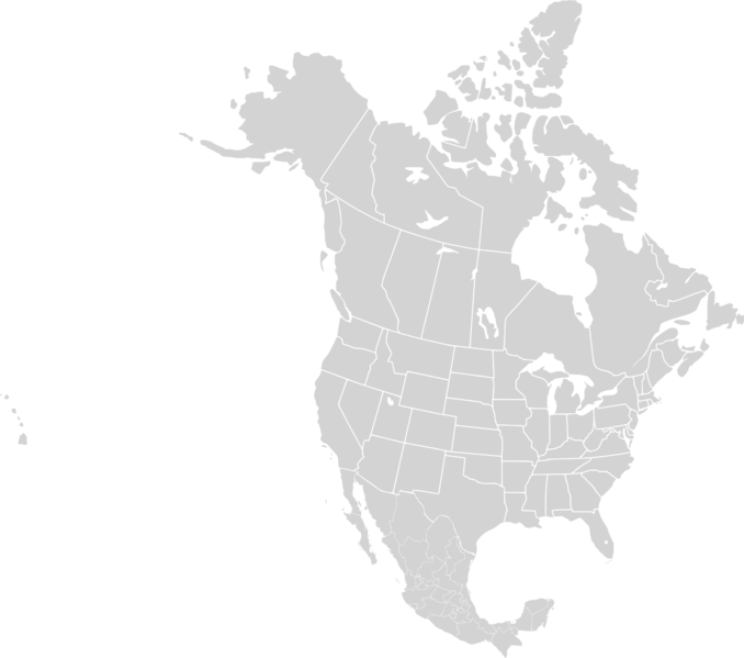
| Description | North America Political Range Map |
| Date | 05/02/2007 |
| Source | Image:Betula neoalaskana range map.PNG |
| Author | Alan Rockefeller |
| Other versions | Derivative works of this file: White-breasted nuthatch range map.png |

|
File:North America second level political division 2.svg is a vector version of this file. It should be used in place of this PNG file when not inferior.
File:North america blank range map.png → File:North America second level political division 2.svg
For more information, see Help:SVG. |
 |
File history
Click on a date/time to view the file as it appeared at that time.
| Date/Time | Thumbnail | Dimensions | User | Comment | |
|---|---|---|---|---|---|
| current | 07:46, 2 March 2008 | | 2,253 × 1,992 (299 KB) | Porsche997SBS (talk | contribs) | Reverted to version as of 20:01, 24 October 2007 |
| 15:21, 3 November 2007 |  | 1,740 × 1,993 (137 KB) | MPF (talk | contribs) | Reverted to version as of 15:41, 18 October 2007 | |
| 20:01, 24 October 2007 |  | 2,253 × 1,992 (299 KB) | AlexCovarrubias (talk | contribs) | Reverted to version as of 07:27, 7 October 2007 | |
| 15:41, 18 October 2007 |  | 1,740 × 1,993 (137 KB) | MPF (talk | contribs) | Cleaner copy (3-tone only), black borders, add Belize, Guatemala, crop excess Pacific | |
| 07:27, 7 October 2007 |  | 2,253 × 1,992 (299 KB) | AlexCovarrubias (talk | contribs) | Mexico | |
| 23:57, 2 May 2007 |  | 1,749 × 1,740 (59 KB) | Alan Rockefeller (talk | contribs) | {{Information |Description=North America Blank Range Map |Source=http://upload.wikimedia.org/wikipedia/commons/b/b9/Betula_neoalaskana_range_map.PNG |Date=05/02/2007 |Author=Alan Rockefeller }} |
You cannot overwrite this file.
File usage on Commons
The following 2 pages use this file:
File usage on other wikis
The following other wikis use this file:
- Usage on pl.wikipedia.org
- Sytuacja prawna i społeczna osób LGBT w Kanadzie
- Sytuacja prawna i społeczna osób LGBT w Stanach Zjednoczonych
- Sytuacja prawna i społeczna osób LGBT w Meksyku
- Sytuacja prawna i społeczna osób LGBT w Salwadorze
- Szablon:Sytuacja prawna i społeczna osób LGBT w Ameryce Północnej
- Sytuacja prawna i społeczna osób LGBT na Kubie
- Sytuacja prawna i społeczna osób LGBT w Ameryce Północnej
- Sytuacja prawna i społeczna osób LGBT na Jamajce