File:North Korea Pakistan Locator.png
Jump to navigation
Jump to search
Size of this preview: 800 × 370 pixels. Other resolutions: 320 × 148 pixels | 640 × 296 pixels | 1,357 × 628 pixels.
Original file (1,357 × 628 pixels, file size: 28 KB, MIME type: image/png)
Captions
Captions
Add a one-line explanation of what this file represents
Summary
[edit]
| Description |
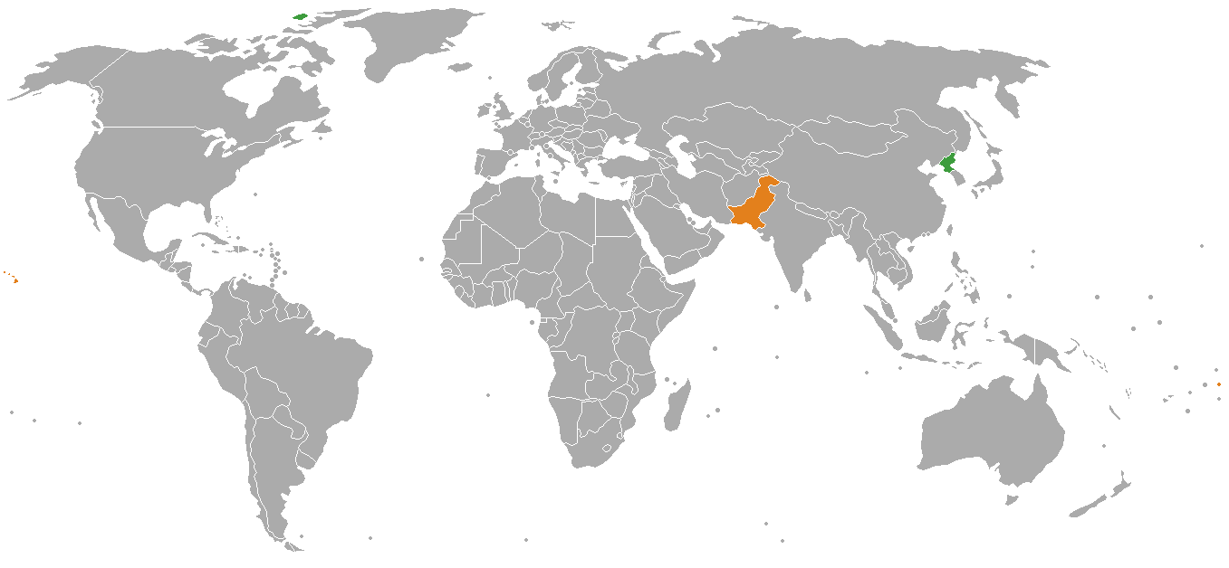
English: Map showing the location of North Korea (green) and Pakistan (orange). Français : Une carte de localisation de la Corée du Nord et du Pakistan
Pakistan
Corée du Nord |
| Date | |
| Source | Own work |
| Author | The life of brian |
| This is a retouched picture, which means that it has been digitally altered from its original version. Modifications: Now showing North Korea and Pakistan. The original can be viewed here: India Pakistan Locator.png:
|
Licensing
[edit]
| I, the copyright holder of this work, release this work into the public domain. This applies worldwide. In some countries this may not be legally possible; if so: I grant anyone the right to use this work for any purpose, without any conditions, unless such conditions are required by law. |
File history
Click on a date/time to view the file as it appeared at that time.
| Date/Time | Thumbnail | Dimensions | User | Comment | |
|---|---|---|---|---|---|
| current | 13:26, 17 November 2008 | | 1,357 × 628 (28 KB) | The life of brian (talk | contribs) | {{Information |Description={{en|1=Map showing the location of North Korea (green) and Pakistan (orange).}} |Source=Own work by uploader |Author=The life of brian |Date=17.11.2008 |Permission= |other_versions= }} {{RetouchedPictu |
You cannot overwrite this file.
File usage on Commons
There are no pages that use this file.
File usage on other wikis
The following other wikis use this file:
- Usage on en.wikipedia.org
- Usage on fr.wikipedia.org