File:North Ferriby foreshore (geograph 4342042).jpg
Jump to navigation
Jump to search

Size of this preview: 800 × 450 pixels. Other resolutions: 320 × 180 pixels | 640 × 360 pixels | 1,024 × 575 pixels | 1,280 × 719 pixels | 2,560 × 1,439 pixels | 4,000 × 2,248 pixels.
Original file (4,000 × 2,248 pixels, file size: 1.43 MB, MIME type: image/jpeg)
Captions
Captions
Add a one-line explanation of what this file represents
Summary[edit]
.jpg&action=edit§ion=1)
| Description |
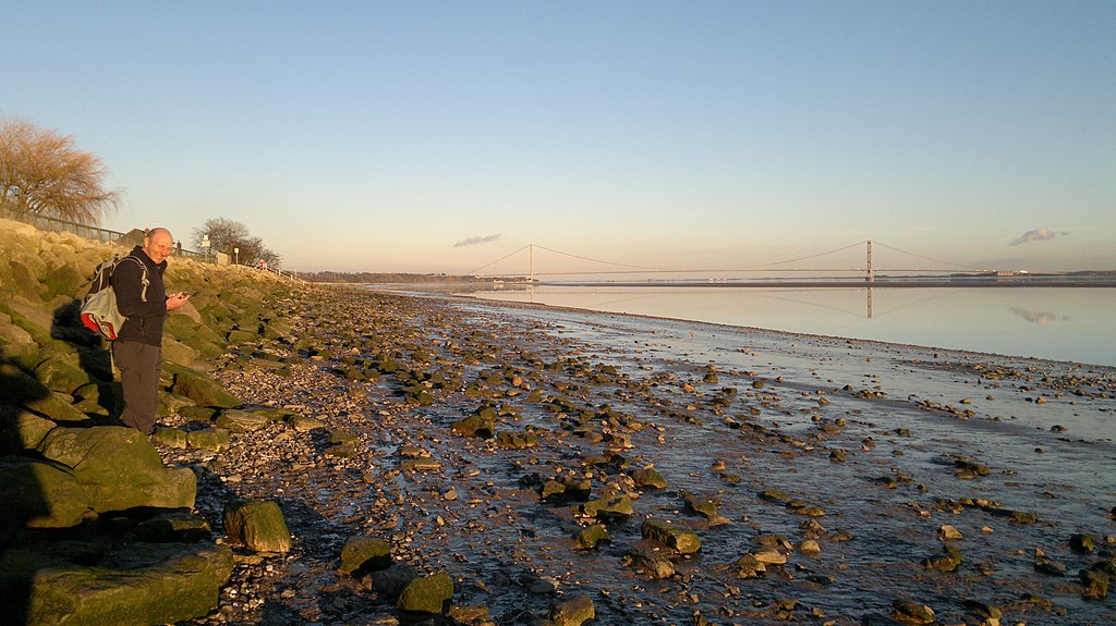
English: North Ferriby foreshore, North Ferriby, East Riding of Yorkshire, England. The Wolds Way runs along this beach - at low tide - and it's muddy! Humber bridge in background. |
| Date | |
| Source | From geograph.org.uk |
| Author | Chris Morgan |
| Permission (Reusing this file) |
Creative Commons Attribution Share-alike license 2.0 |
| Attribution (required by the license) | Chris Morgan / North Ferriby foreshore / |
| Camera location | | View this and other nearby images on: OpenStreetMap |
|---|
.jpg¶ms=053.713015_N_-000.508992_E_globe:Earth_type:camera_source:geograph-osgb36(SE9850325098)_heading:90.00&language=en)
| Object location | | View this and other nearby images on: OpenStreetMap |
|---|
.jpg¶ms=053.712330_N_-000.502850_E_globe:Earth_class:object_type:object_source:geograph-osgb36(SE98912503)_heading:90.00&language=en)
Licensing[edit]
.jpg&action=edit§ion=2)

|
This image was taken from the Geograph project collection. See this photograph's page on the Geograph website for the photographer's contact details. The copyright on this image is owned by Chris Morgan and is licensed for reuse under the Creative Commons Attribution-ShareAlike 2.0 license.
|
This file is licensed under the Creative Commons Attribution-Share Alike 2.0 Generic license.
Attribution: Chris Morgan
- You are free:
- to share – to copy, distribute and transmit the work
- to remix – to adapt the work
- Under the following conditions:
- attribution – You must give appropriate credit, provide a link to the license, and indicate if changes were made. You may do so in any reasonable manner, but not in any way that suggests the licensor endorses you or your use.
- share alike – If you remix, transform, or build upon the material, you must distribute your contributions under the same or compatible license as the original.
File history
Click on a date/time to view the file as it appeared at that time.
| Date/Time | Thumbnail | Dimensions | User | Comment | |
|---|---|---|---|---|---|
| current | 23:50, 7 August 2022 | | 4,000 × 2,248 (1.43 MB) | Keith D (talk | contribs) | == {{int:filedesc}} == {{Information |Description={{en|1=North Ferriby foreshore, North Ferriby, East Riding of Yorkshire, England.<br />The Wolds Way runs along this beach - at low tide - and it's muddy!<br /> Humber bridge in background.}} |Source=From [https://www.geograph.org.uk/photo/4342042 geograph.org.uk] |Date=2015-02-09 |Author=[https://www.geograph.org.uk/profile/69729 Chris Morgan] |Permission=Creative Commons Attribution Shar... |
You cannot overwrite this file.
File usage on Commons
There are no pages that use this file.
.jpg&oldid=716080712)