File:Niobrara River (southeast of Spencer, Nebraska, USA) (24503631460).jpg
Jump to navigation
Jump to search

Size of this preview: 800 × 418 pixels. Other resolutions: 320 × 167 pixels | 640 × 335 pixels | 1,024 × 535 pixels | 1,280 × 669 pixels | 3,008 × 1,573 pixels.
Original file (3,008 × 1,573 pixels, file size: 3.69 MB, MIME type: image/jpeg)
Captions
Captions
Add a one-line explanation of what this file represents
Summary[edit]
_(24503631460).jpg&action=edit§ion=1)
| Description |
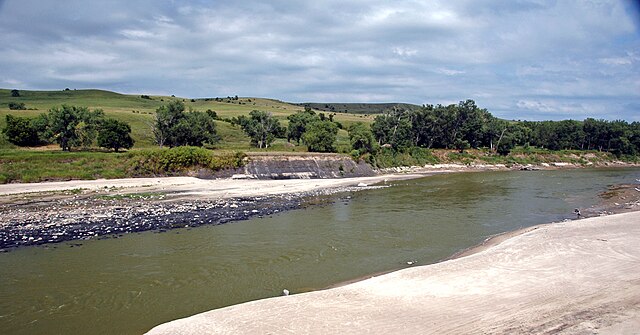
(downstream is to the right) The outcrop at the center of the photo is the Cretaceous-aged Pierre Shale (= pronounced "Peer"). Locality: Rt. 281 bridge over the Niobrara River, southeast of the town of Spencer, Boyd County-Holt County line, northern Nebraska, USA (42° 48' 26.19" North latitude, 98° 39' 01.38" West longitude) |
| Date | |
| Source | Niobrara River (southeast of Spencer, Nebraska, USA) |
| Author | James St. John |
Licensing[edit]
_(24503631460).jpg&action=edit§ion=2)
This file is licensed under the Creative Commons Attribution 2.0 Generic license.
- You are free:
- to share – to copy, distribute and transmit the work
- to remix – to adapt the work
- Under the following conditions:
- attribution – You must give appropriate credit, provide a link to the license, and indicate if changes were made. You may do so in any reasonable manner, but not in any way that suggests the licensor endorses you or your use.
| This image was originally posted to Flickr by James St. John at https://flickr.com/photos/47445767@N05/24503631460 (archive). It was reviewed on 28 January 2020 by FlickreviewR 2 and was confirmed to be licensed under the terms of the cc-by-2.0. |
File history
Click on a date/time to view the file as it appeared at that time.
| Date/Time | Thumbnail | Dimensions | User | Comment | |
|---|---|---|---|---|---|
| current | 02:14, 28 January 2020 | | 3,008 × 1,573 (3.69 MB) | Ser Amantio di Nicolao (talk | contribs) | Transferred from Flickr via #flickr2commons |
You cannot overwrite this file.
File usage on Commons
There are no pages that use this file.
_(24503631460).jpg&oldid=878414609)