File:NezavisnaDrzavaHrvatska1943.png
Jump to navigation
Jump to search
Size of this preview: 761 × 600 pixels. Other resolutions: 305 × 240 pixels | 609 × 480 pixels | 975 × 768 pixels | 1,280 × 1,009 pixels | 2,000 × 1,576 pixels.
Original file (2,000 × 1,576 pixels, file size: 664 KB, MIME type: image/png)
Captions
Captions
Add a one-line explanation of what this file represents
Summary[edit]
| Description |
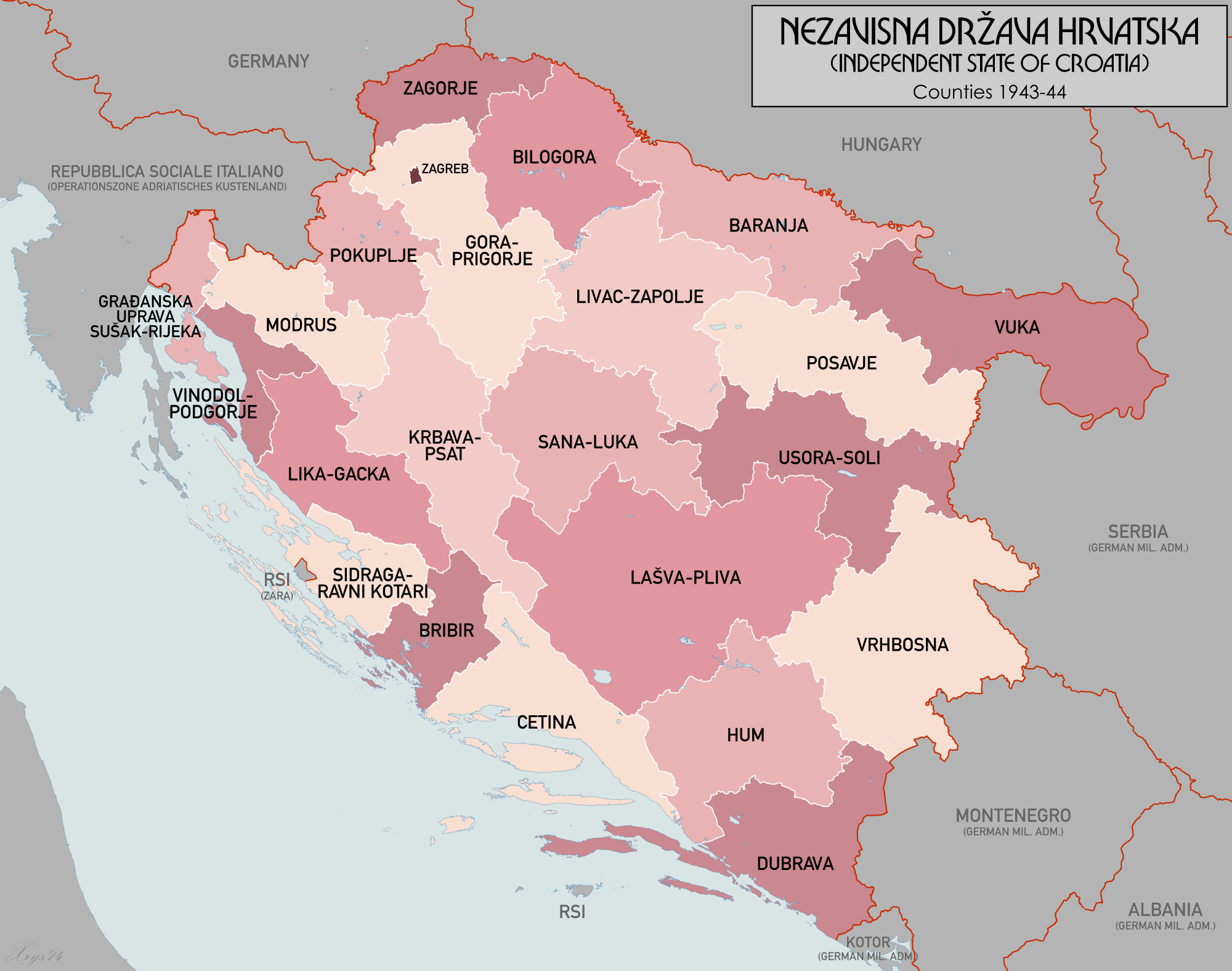
English: Administrative Map of the Independent State of Croatia in 1943 (Nezavisna Drzava Hrvatska) |
| Date | |
| Source | Own work |
| Author | XrysD |
Licensing[edit]
I, the copyright holder of this work, hereby publish it under the following license:
This file is licensed under the Creative Commons Attribution 3.0 Unported license.
- You are free:
- to share – to copy, distribute and transmit the work
- to remix – to adapt the work
- Under the following conditions:
- attribution – You must give appropriate credit, provide a link to the license, and indicate if changes were made. You may do so in any reasonable manner, but not in any way that suggests the licensor endorses you or your use.
| Annotations | This image is annotated: View the annotations at Commons |
File history
Click on a date/time to view the file as it appeared at that time.
| Date/Time | Thumbnail | Dimensions | User | Comment | |
|---|---|---|---|---|---|
| current | 20:57, 26 November 2014 | | 2,000 × 1,576 (664 KB) | XrysD (talk | contribs) | New font. |
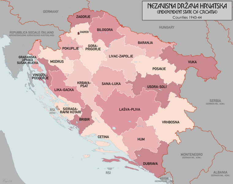
| 22:57, 25 November 2014 |  | 2,000 × 1,576 (676 KB) | XrysD (talk | contribs) | Completely new version. | |
| 22:04, 2 January 2013 |  | 1,780 × 1,580 (248 KB) | XrysD (talk | contribs) | Added Kommissariat Suschak-Krk | |
| 23:02, 13 September 2011 |  | 1,780 × 1,580 (239 KB) | XrysD (talk | contribs) | {{Information |Description ={{en|1=Administrative Map of the Independent State of Croatia in 1943 (Nezavisna Drzava Hrvatska)}} |Source ={{own}} |Author =XrysD |Date =2011-09-13 |Permission = |other_versions |
You cannot overwrite this file.
File usage on Commons
The following 2 pages use this file:
File usage on other wikis
The following other wikis use this file:
- Usage on en.wikipedia.org
- Usage on it.wikipedia.org
- Usage on lt.wikipedia.org
- Usage on pt.wikipedia.org
- Usage on ru.wikipedia.org
- Usage on uk.wikipedia.org
- Usage on vi.wikipedia.org
- Usage on www.wikidata.org