File:New Brunswick topographic map-fr1.svg
Jump to navigation
Jump to search

Size of this PNG preview of this SVG file: 779 × 600 pixels. Other resolutions: 312 × 240 pixels | 624 × 480 pixels | 998 × 768 pixels | 1,280 × 985 pixels | 2,560 × 1,971 pixels | 1,012 × 779 pixels.
Original file (SVG file, nominally 1,012 × 779 pixels, file size: 3.32 MB)
Captions
Captions
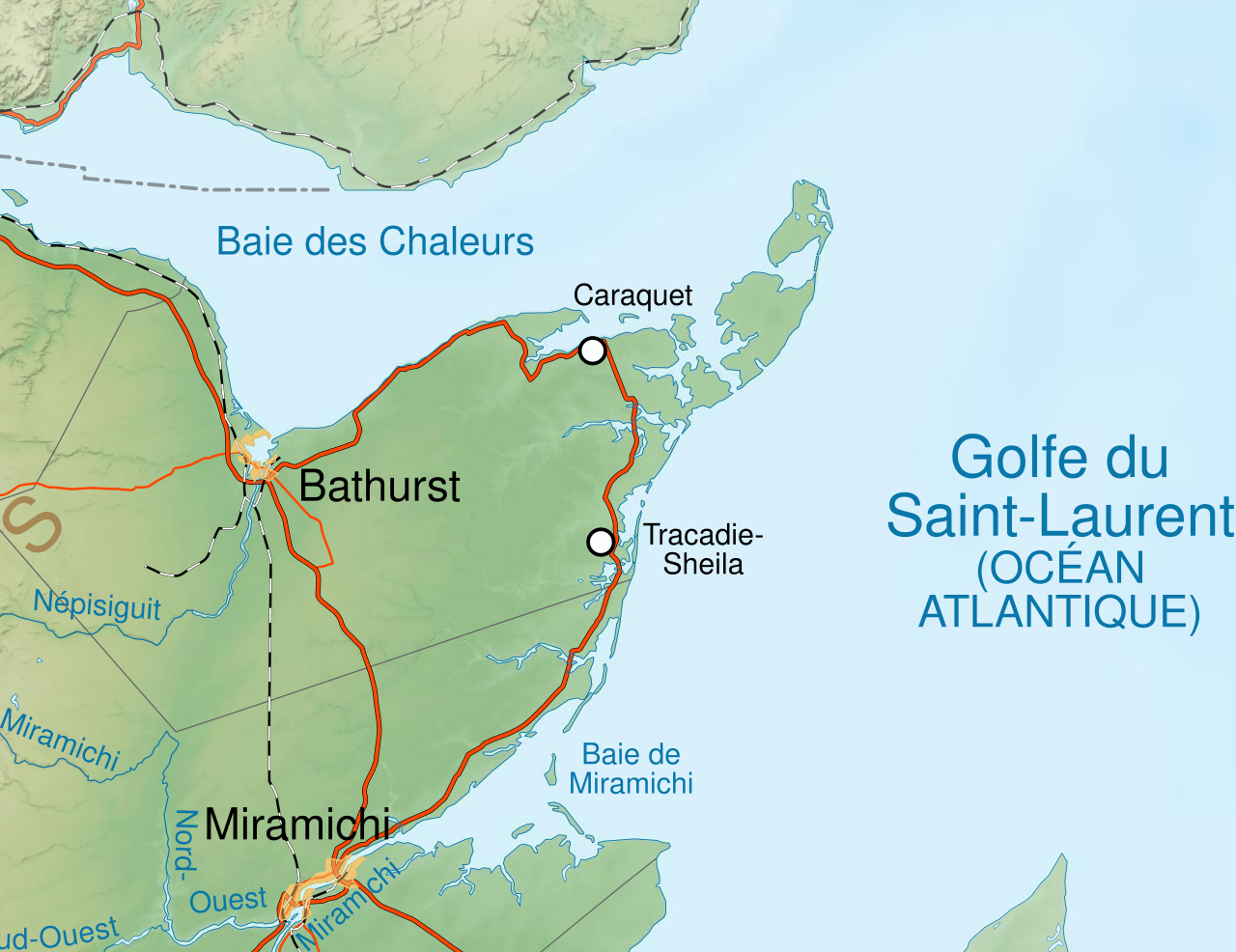
New Brunswick topographic map test
Summary[edit]
| Description |
Deutsch: New Brunswick topographic map test |
| Date | |
| Source | File:New Brunswick topographic map-fr.svg |
| Author | Sémhur (talk) |
| Other versions |
This file was derived from: New Brunswick topographic map-fr1.svg |
Licensing[edit]
| Copyleft: This work of art is free; you can redistribute it and/or modify it according to terms of the Free Art License. You will find a specimen of this license on the Copyleft Attitude site as well as on other sites. |
File history
Click on a date/time to view the file as it appeared at that time.
| Date/Time | Thumbnail | Dimensions | User | Comment | |
|---|---|---|---|---|---|
| current | 21:26, 10 May 2020 | | 1,012 × 779 (3.32 MB) | Reinhard Kraasch (talk | contribs) | Uploaded own work with UploadWizard |
You cannot overwrite this file.
File usage on Commons
There are no pages that use this file.