File:Nagashima in Kagoshima Prefecture 2.png
Original file (1,201 × 801 pixels, file size: 34 KB, MIME type: image/png)
Captions
Captions
Summary[edit]
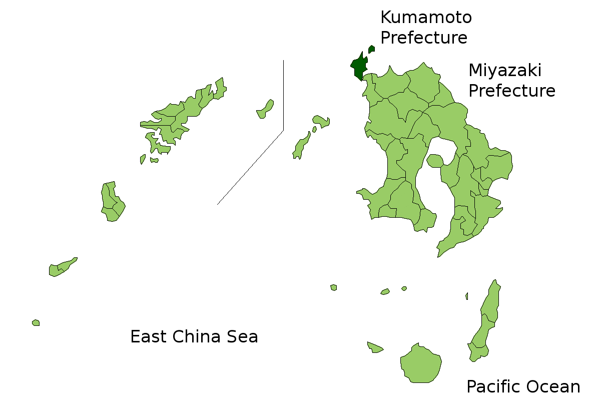
| Description | Location Map of Nagashima in Kagoshima Prefecture, Japan | ||
| Date | |||
| Source | Image:KagoshimaMapCurrent.png and rework | ||
| Author | user:alberth2 | ||
| Permission (Reusing this file) |
|
||
| Other versions |
|
Licensing[edit]
| I, the copyright holder of this work, release this work into the public domain. This applies worldwide. In some countries this may not be legally possible; if so: I grant anyone the right to use this work for any purpose, without any conditions, unless such conditions are required by law. |
File history
Click on a date/time to view the file as it appeared at that time.
| Date/Time | Thumbnail | Dimensions | User | Comment | |
|---|---|---|---|---|---|
| current | 07:35, 21 March 2021 | | 1,201 × 801 (34 KB) | MGA73 (talk | contribs) | Reverted to version as of 06:45, 23 March 2010 (UTC) - new version is located at File:Nagashima in Kagoshima Prefecture.png |
| 14:10, 22 October 2019 |  | 290 × 380 (7 KB) | Fgg11 (talk | contribs) | new file | |
| 06:45, 23 March 2010 |  | 1,201 × 801 (34 KB) | Alberth2 (talk | contribs) | Kajiki Town, Kamō Town and Aira Tow were merged to Aira City. | |
| 03:16, 1 November 2008 |  | 1,201 × 801 (34 KB) | Alberth2 (talk | contribs) | Ōkuchi and Hishikari merged to Isa. | |
| 06:31, 1 December 2007 |  | 1,201 × 801 (34 KB) | Alberth2 (talk | contribs) | Kawanabe, Chiran, and Ei are merged into Minamikyūshū City. | |
| 01:21, 5 October 2007 |  | 1,201 × 801 (34 KB) | Alberth2 (talk | contribs) | == Summary == {{Information |Description=Location Map of Nagashima in Kagoshima Prefecture, Japan |Source=Image:KagoshimaMapCurrent.png and rework |Date=Oct. 5th, 2007 |Author=user:alberth2 |Permission=PD |other_versions= }} == Licensing == {{PD |
You cannot overwrite this file.
File usage on Commons
The following page uses this file: